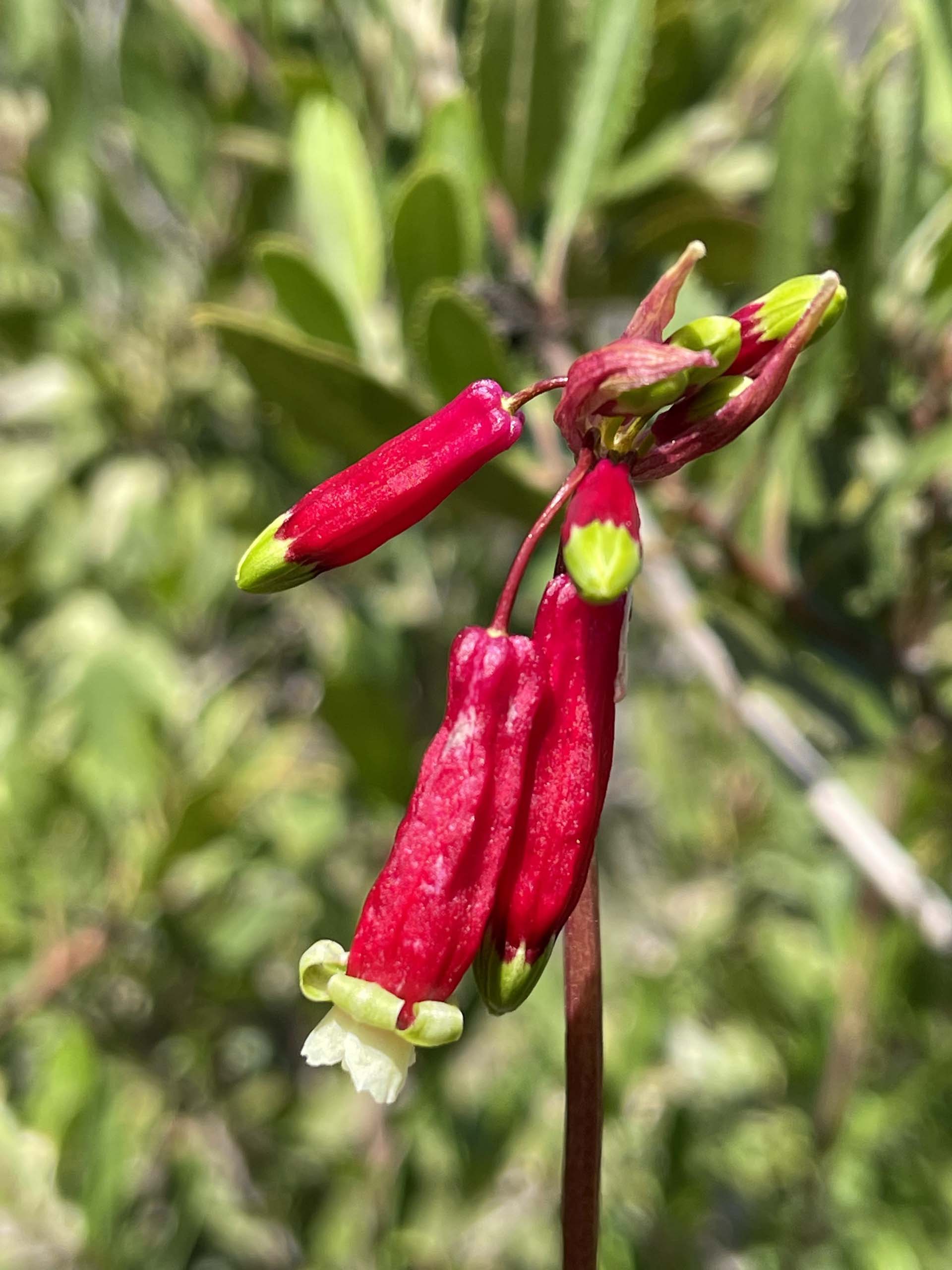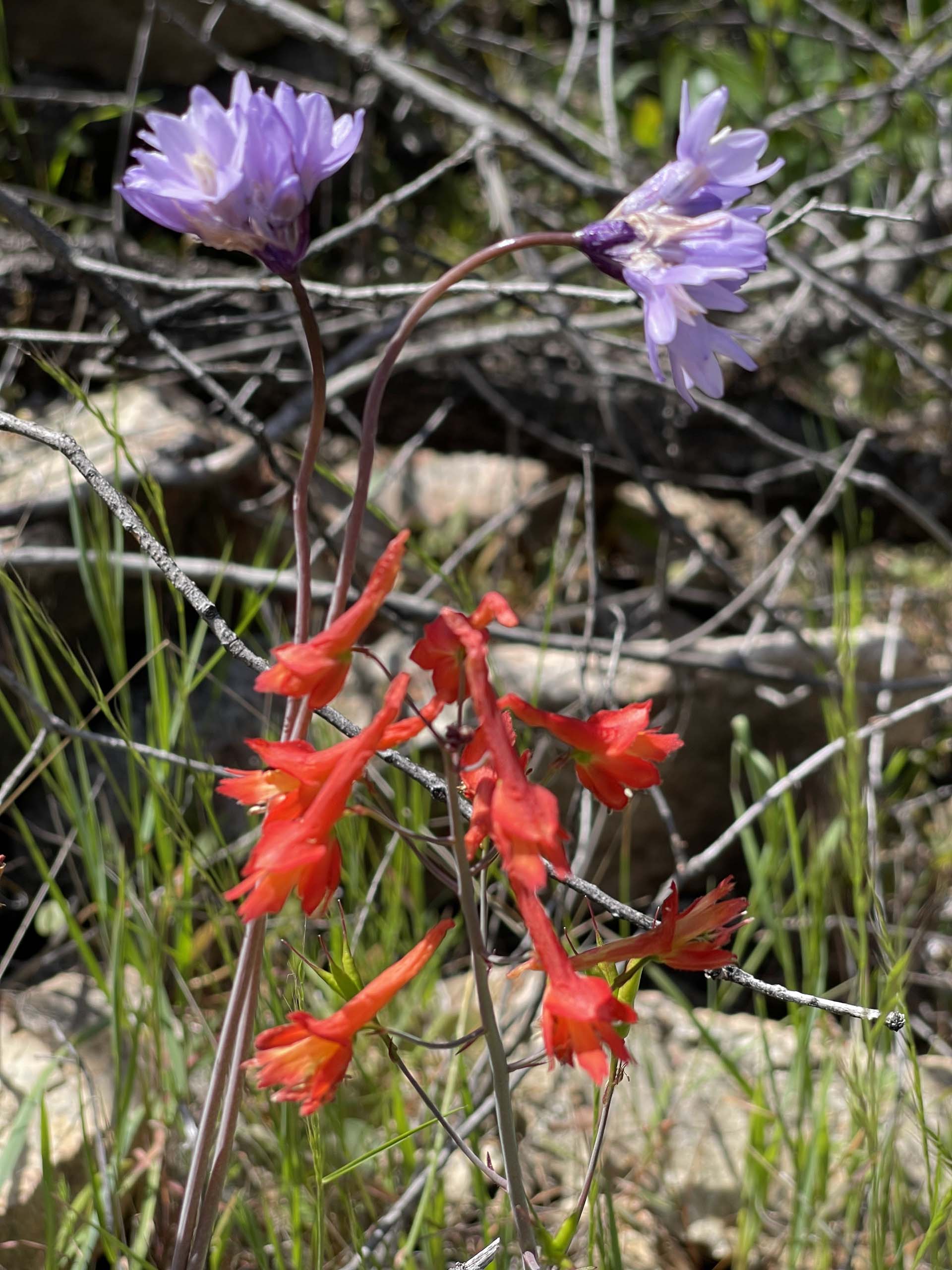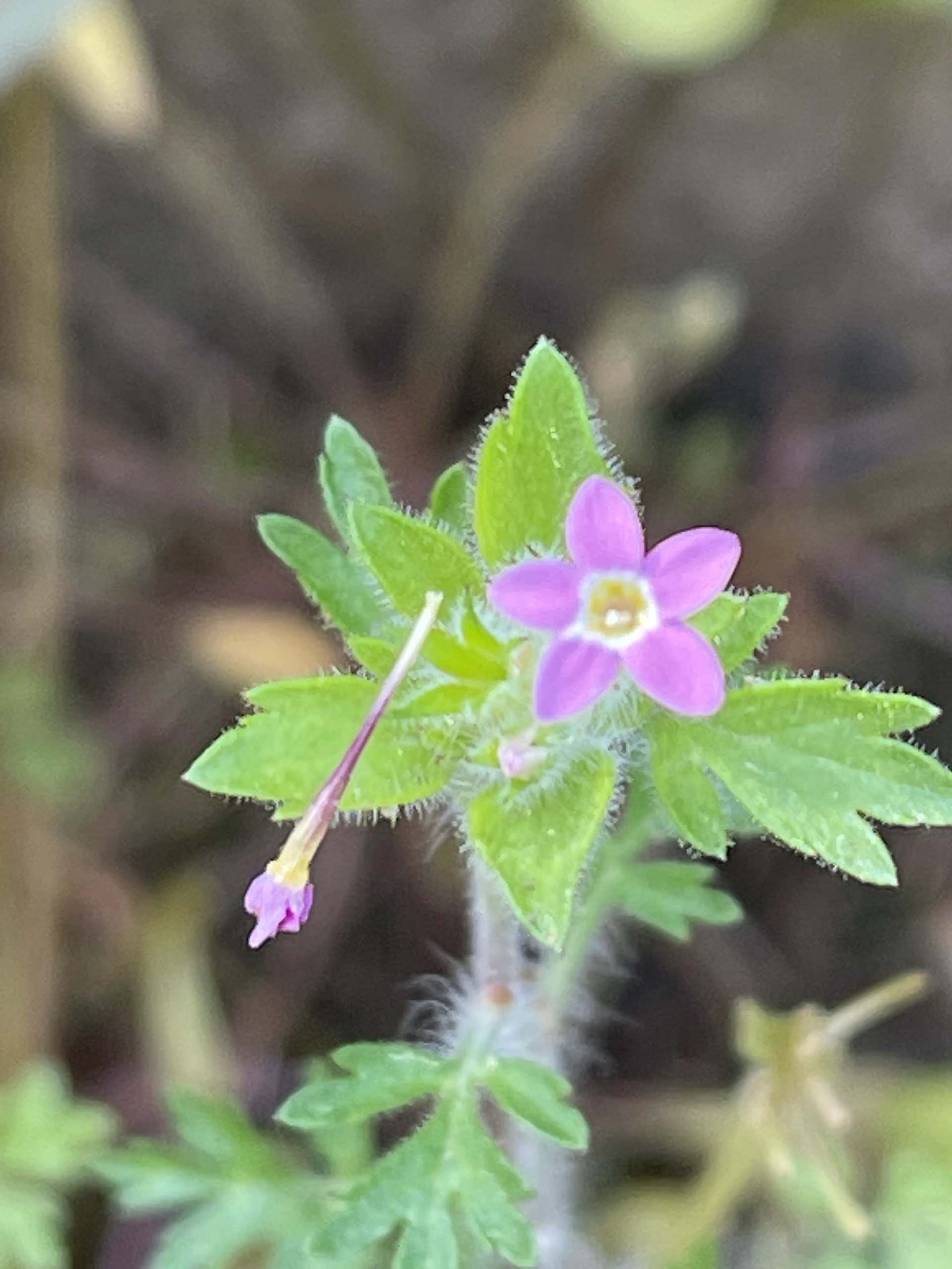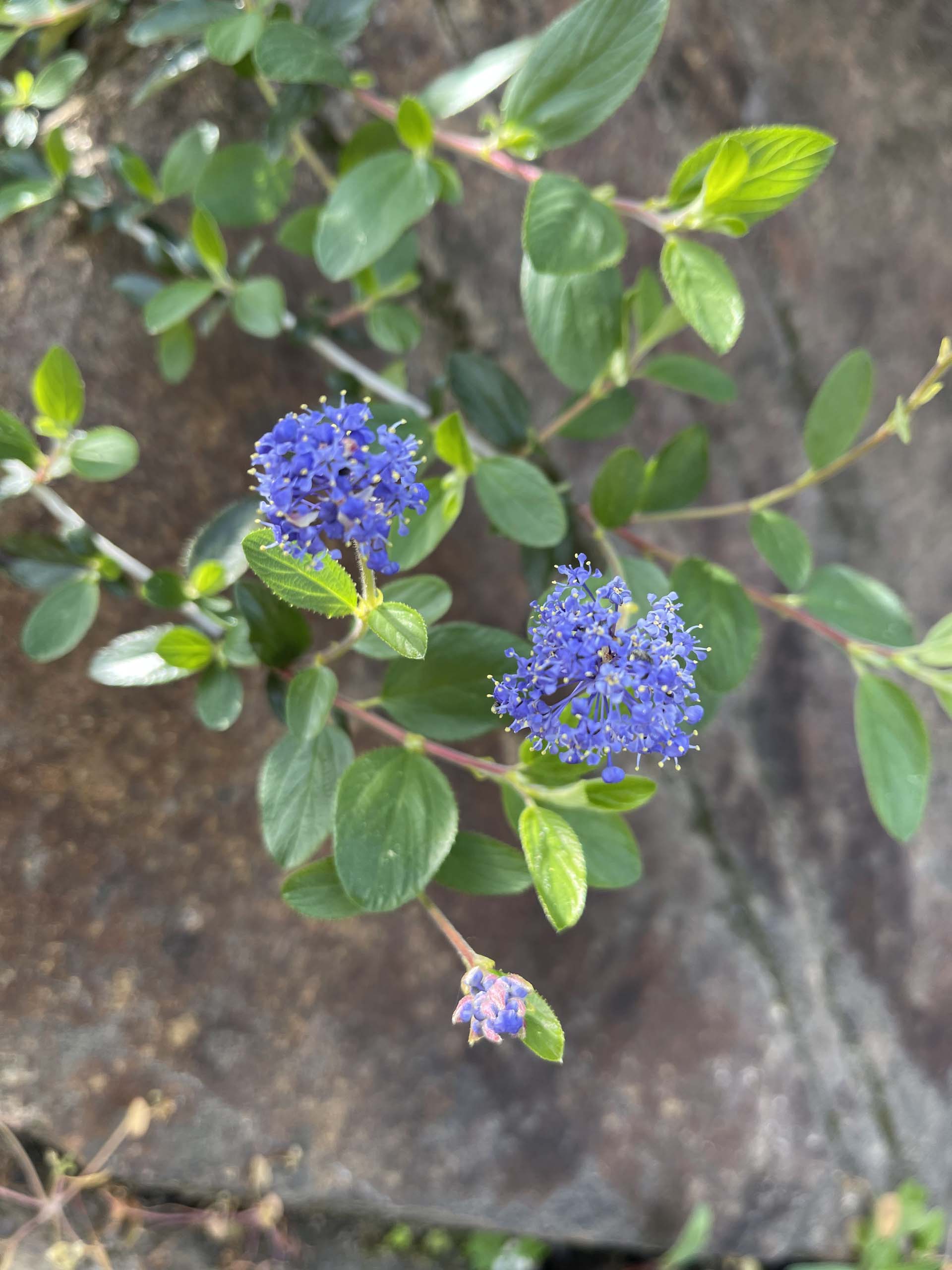
Nine hikers (seven people and two canines) enjoyed cool, spring temperatures during an out-and-back ~3-mile trek on Trail 58, Redding, this past Sunday. Much of the trail lies within or parallels a water ditch that dates from between 1850 and 1870, according to BLM archaeologist Eric Ritter, with whom I had the pleasure of talking several years ago. Evidence—including the ditch itself, rusted sheet metal, and large washed-away areas—attests to the mining activity that occurred here.
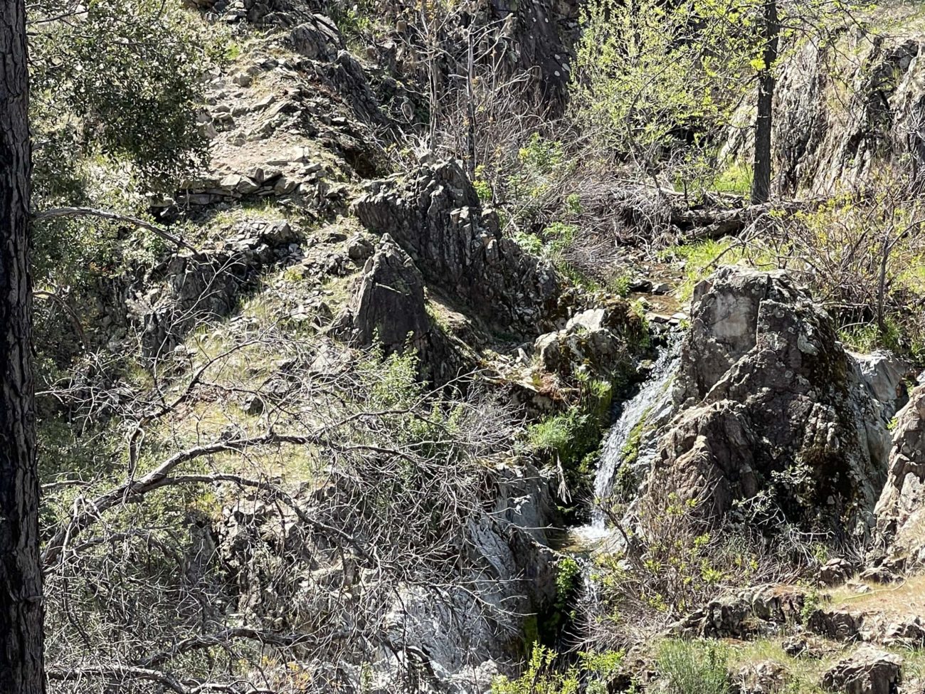
The trail takes its name from nearby Cal Fire Station 58. Beginning at the Iron Mountain Road trailhead, the single-track path winds its way west to eventually end at the junction of Middle Creek Road and Highway 299—a distance of 2.75 miles. At several points along the trail, there are views of Middle Creek, as well as a seasonal waterfall at about 1.3 miles.
Our group chose to stop and head back at the second of two bridges found on this trail. There are a couple of steep sections on this route; the longest steep stretch comes after this second bridge, which also has lots of loose rocks, making for tricky footing. Mountain bikers frequent this trail, as do joggers.
Iron Mountain Road trailhead is reached by turning onto Iron Mountain Road from Highway 299. Drive about 0.2 miles and look for the small parking area on the left-hand side of the road. Bring plenty of water and watch for rattlesnakes when the weather warms up.
My apologies for not getting a group picture of the participants, which included Bob Madison, Judy Mauzy, Barbie Potter, Paula Crumpton, Brigitte Robertson, Debi Simon, Chris Harvey, and canines Baxster and Stella!
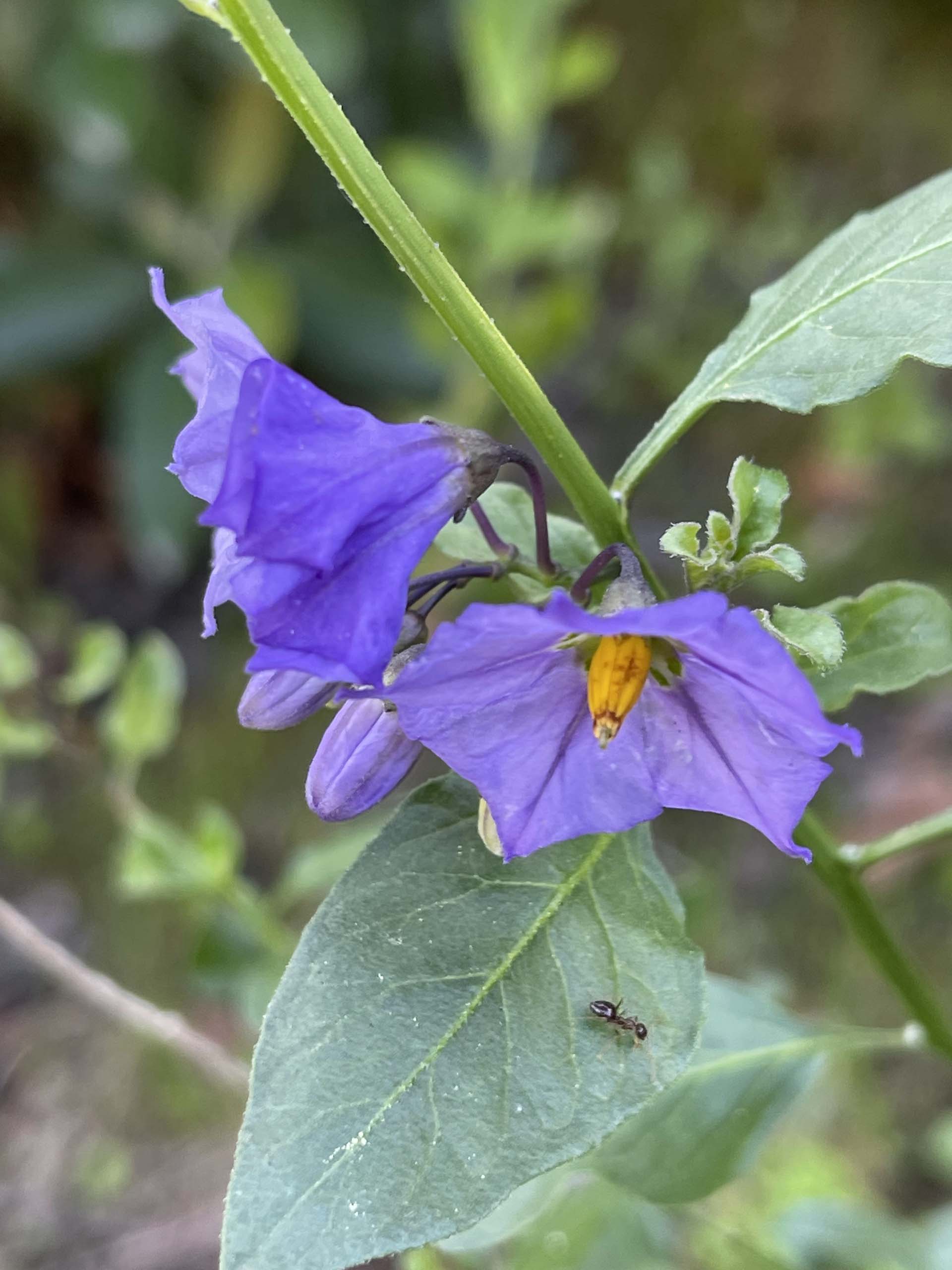
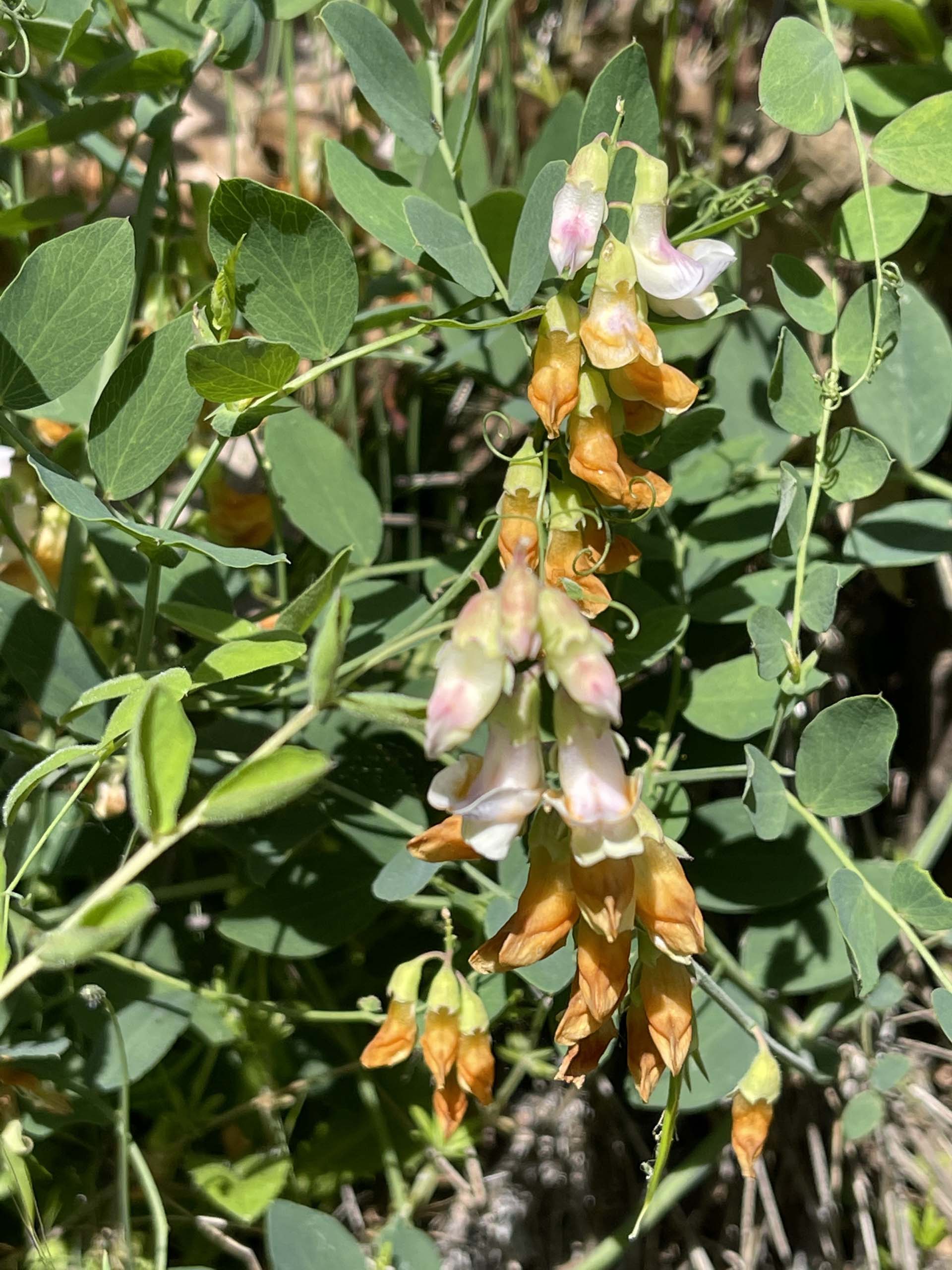
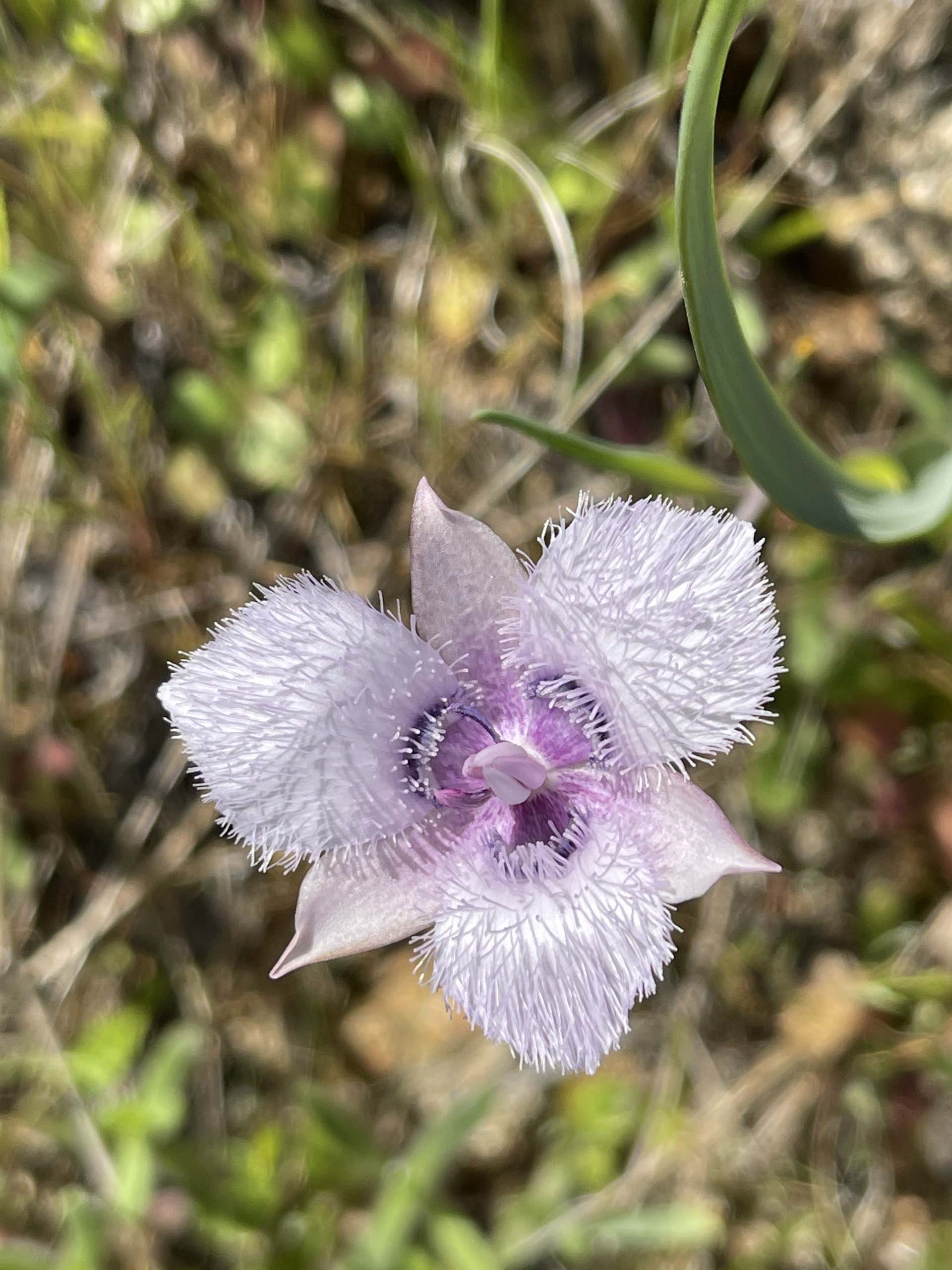
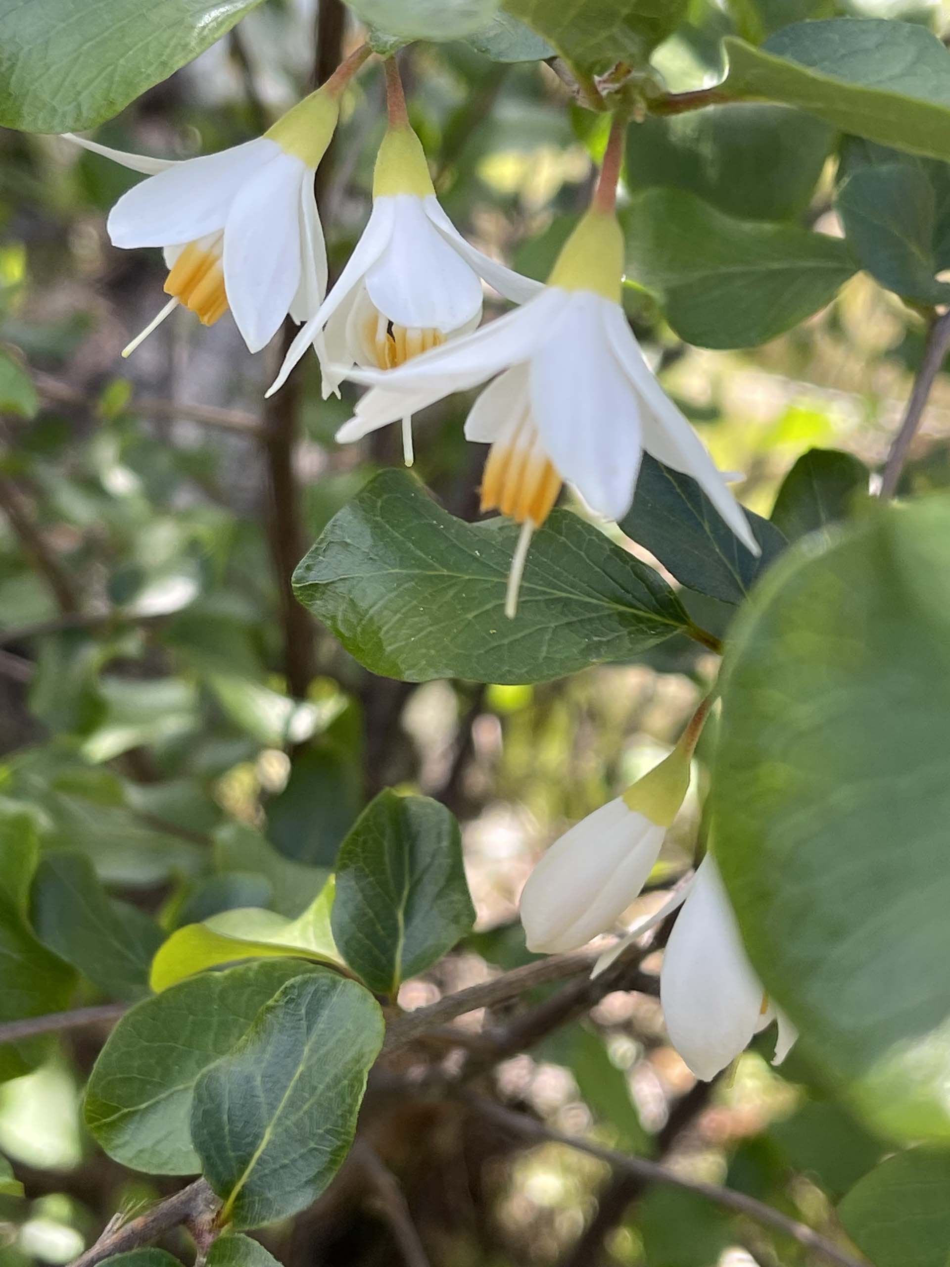
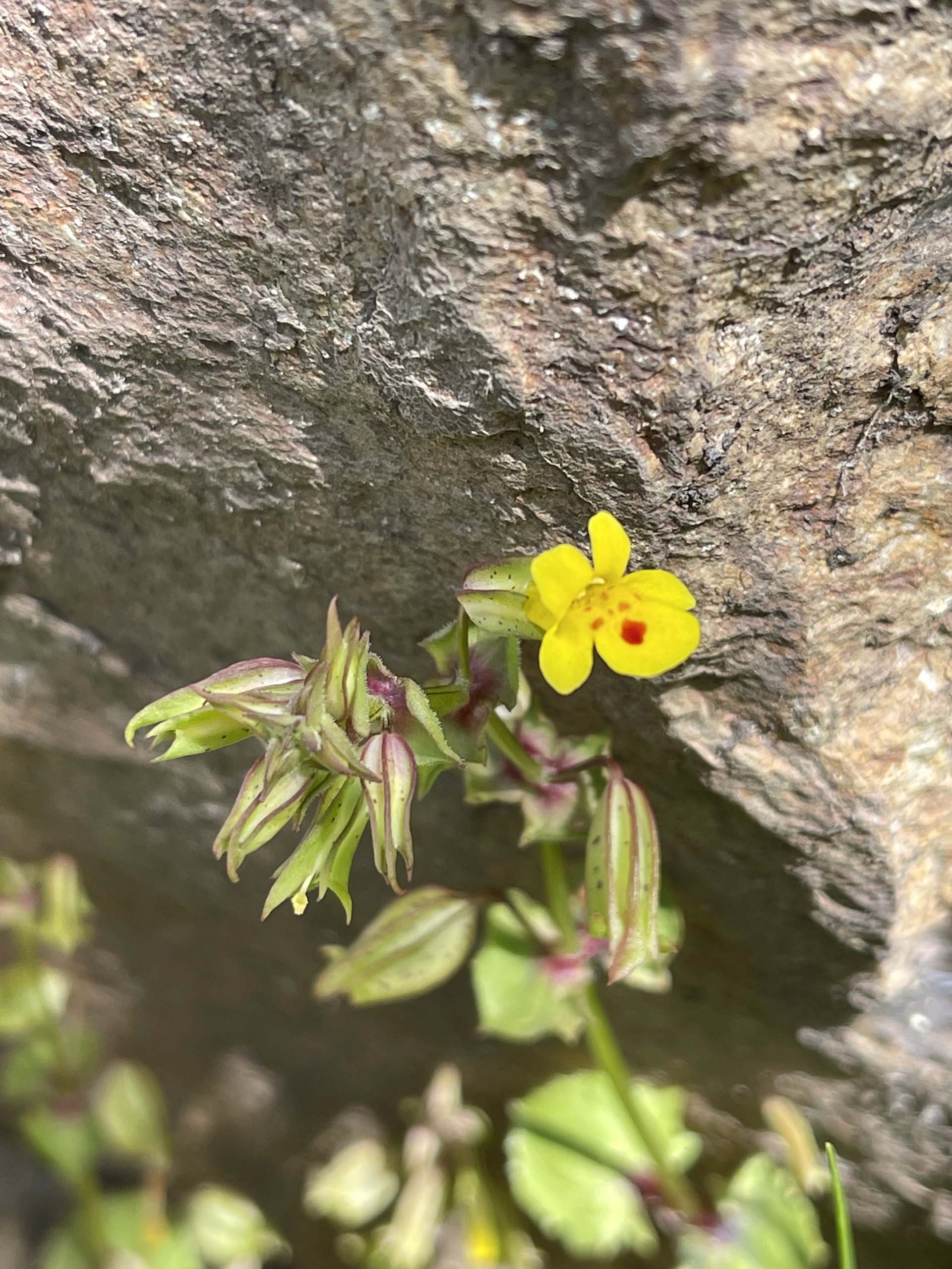
Following are some of the flowering plants we encountered on our hike. All photos by Chris Harvey. Enjoy! ~Chris Harvey

