Emu Trail may be one of the shortest trails in all of Sacramento River Bend Recreation Area, (less than 0.75 mile from beginning to end), but botanically, it is definitely one of the most diverse.
This trail is at the very first Sacramento River Bend Recreation Area trailhead one comes to when approaching from the little community of Bend, Tehama County, on Bend Ferry Road. It’s at the last 90-degree bend in the road, at which there is a decent-sized parking area. We are noticing more and more cars parked here recently, as if people are just discovering this little gem of a trail.
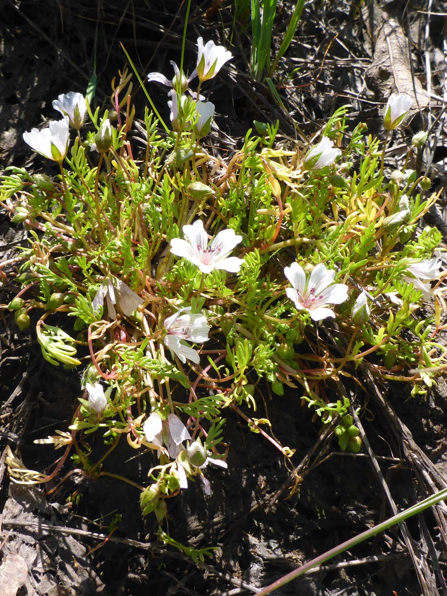
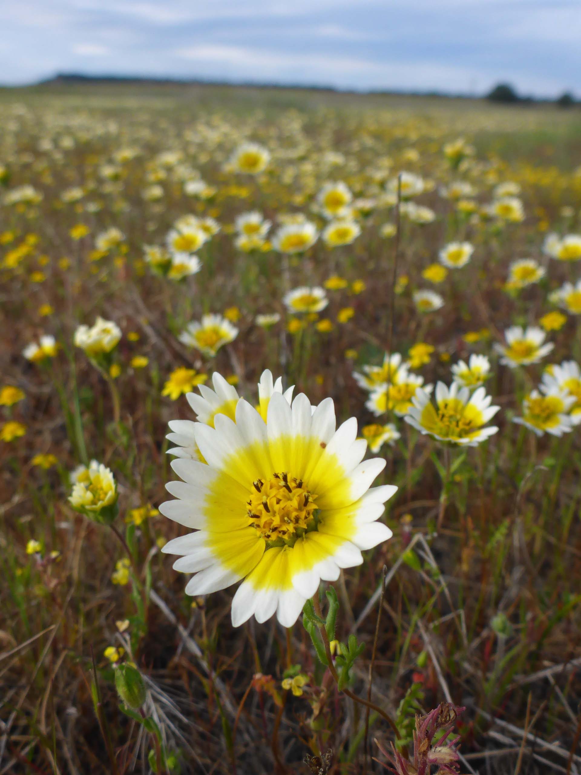
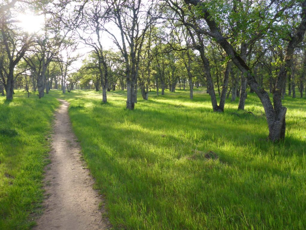
The trail begins in an open blue oak woodland, paralleling a fence that separates the Recreation Area from neighboring ranch land. (Perhaps it was an emu ranch at one time, hence the trail’s name?) Here grows the typical oak woodland flora that one would expect to see, but also some wetland species, such as meadowfoam, as the soil between the trail and the fence seems to retain more moisture.
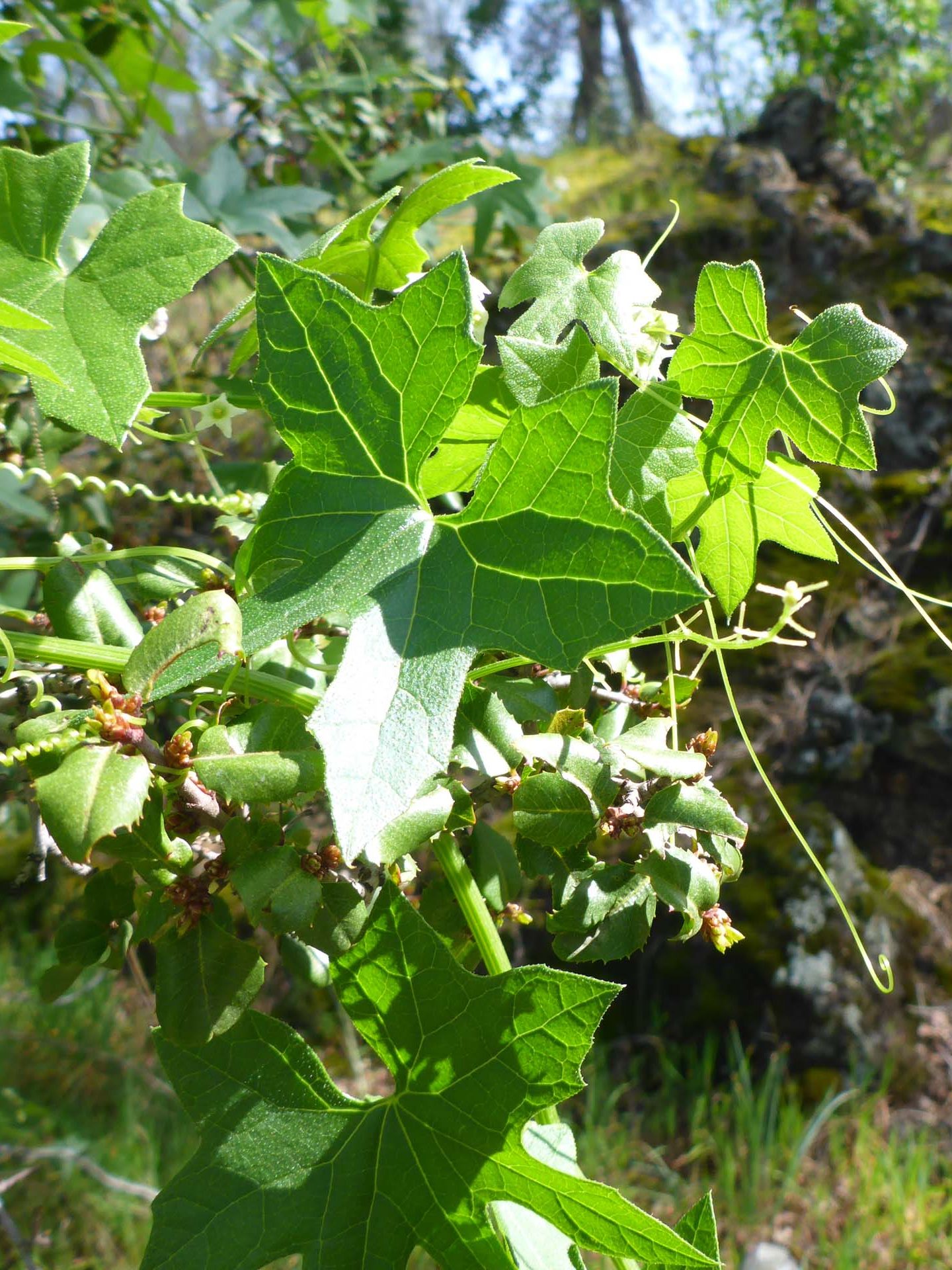
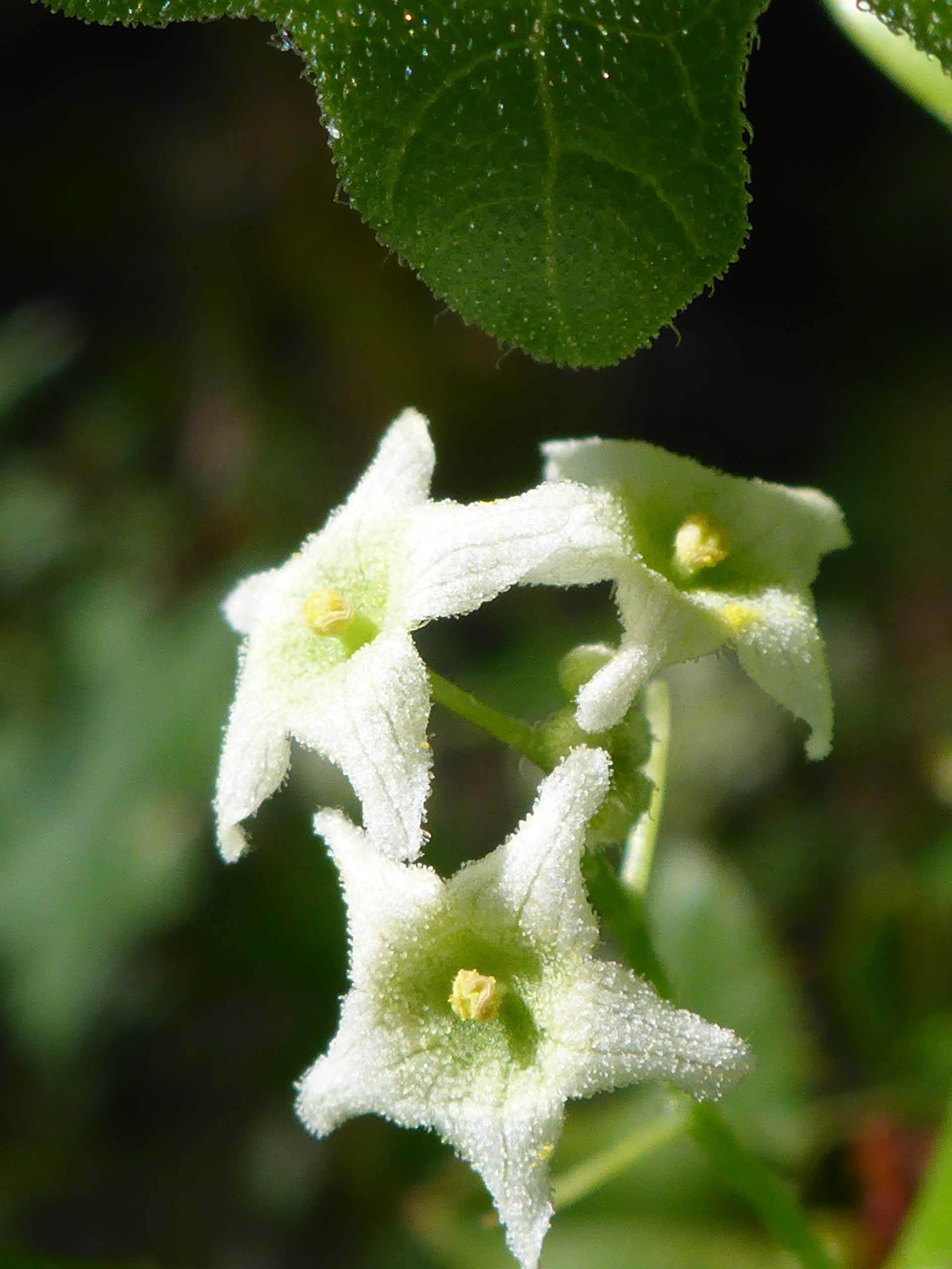
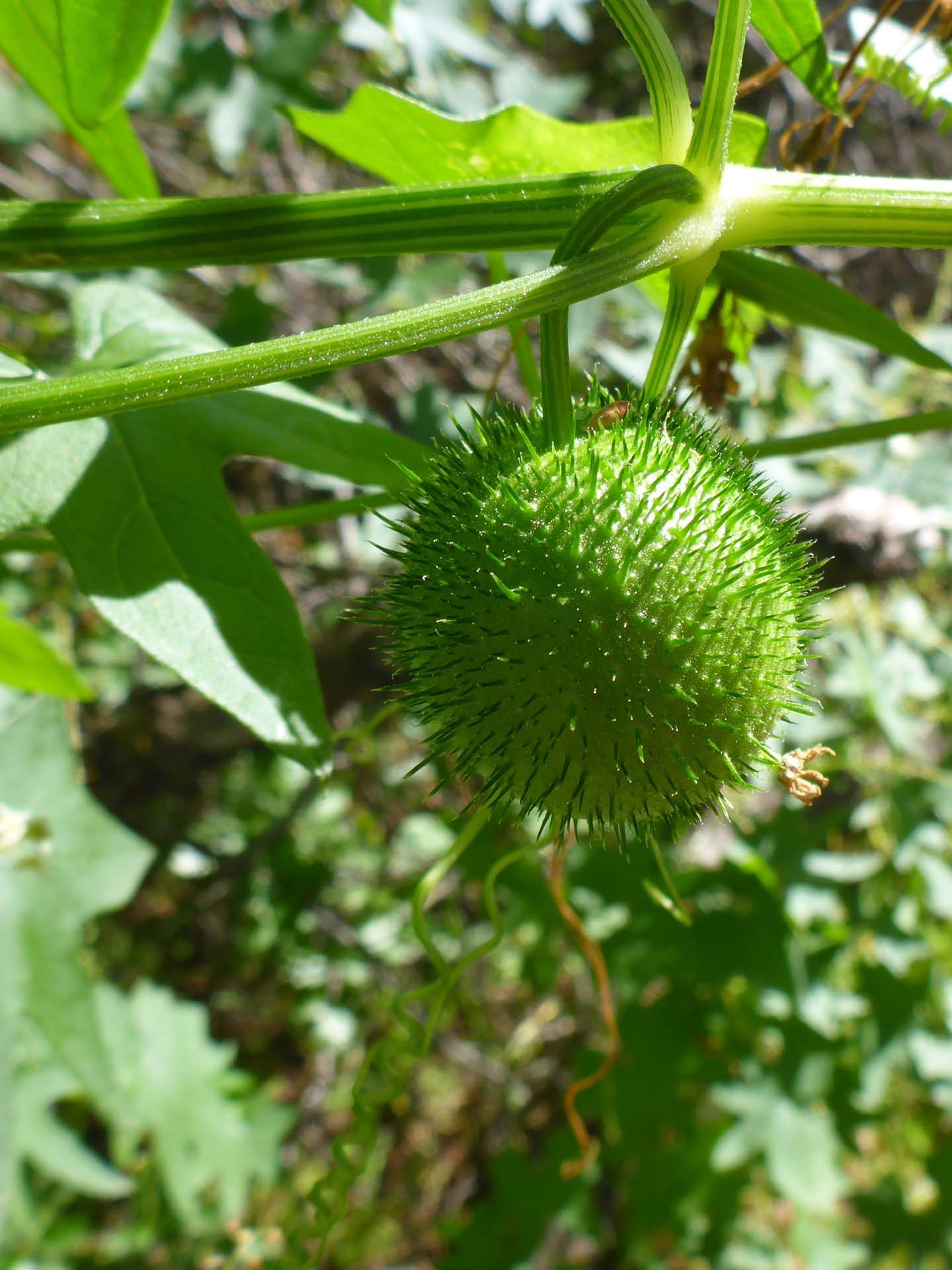
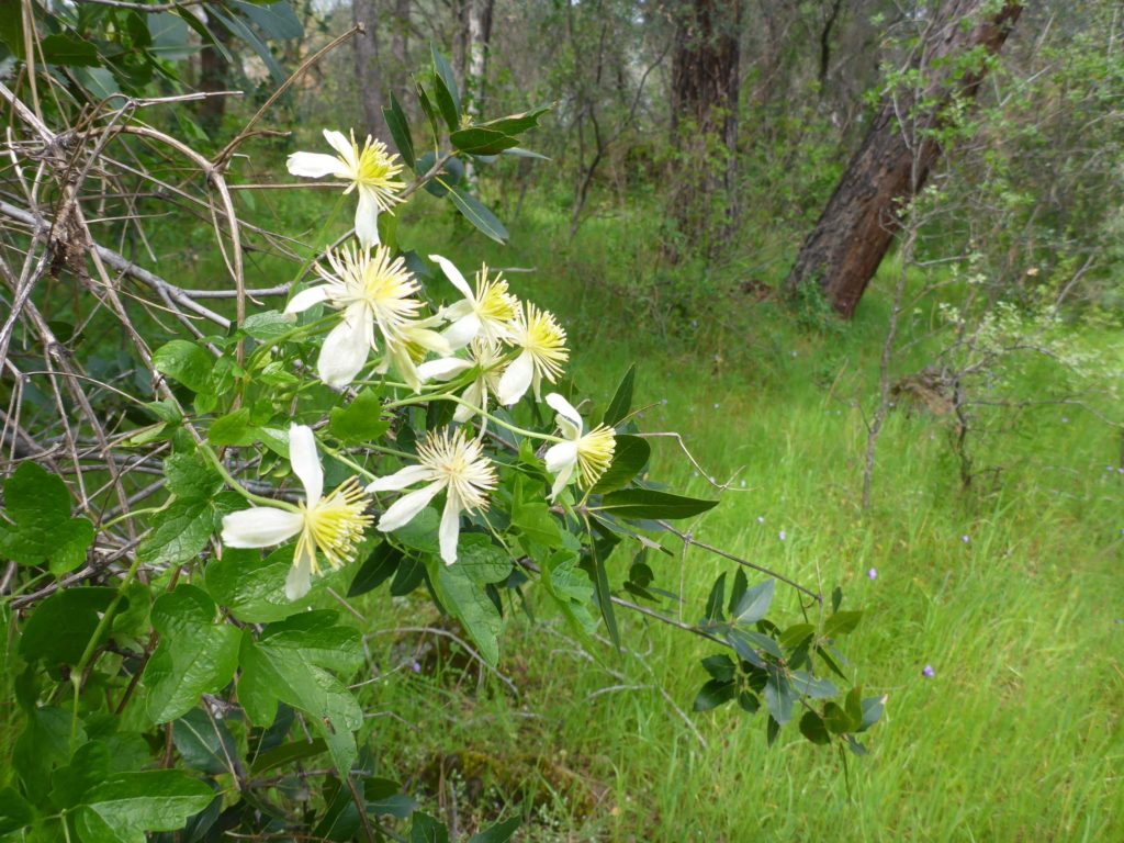
Halfway along the trail is a bend at a very distinct wet spot—wet enough for frogs to hang out—and the blooming species are much more of the wetland variety. As the trail curves to the south, moss-covered rocky outcrops (and rock walls!) become prominent under a gray-pine canopy. We saw pipevine, manroot, bedstraw, and clematis, amongst many other beautiful bloomers.
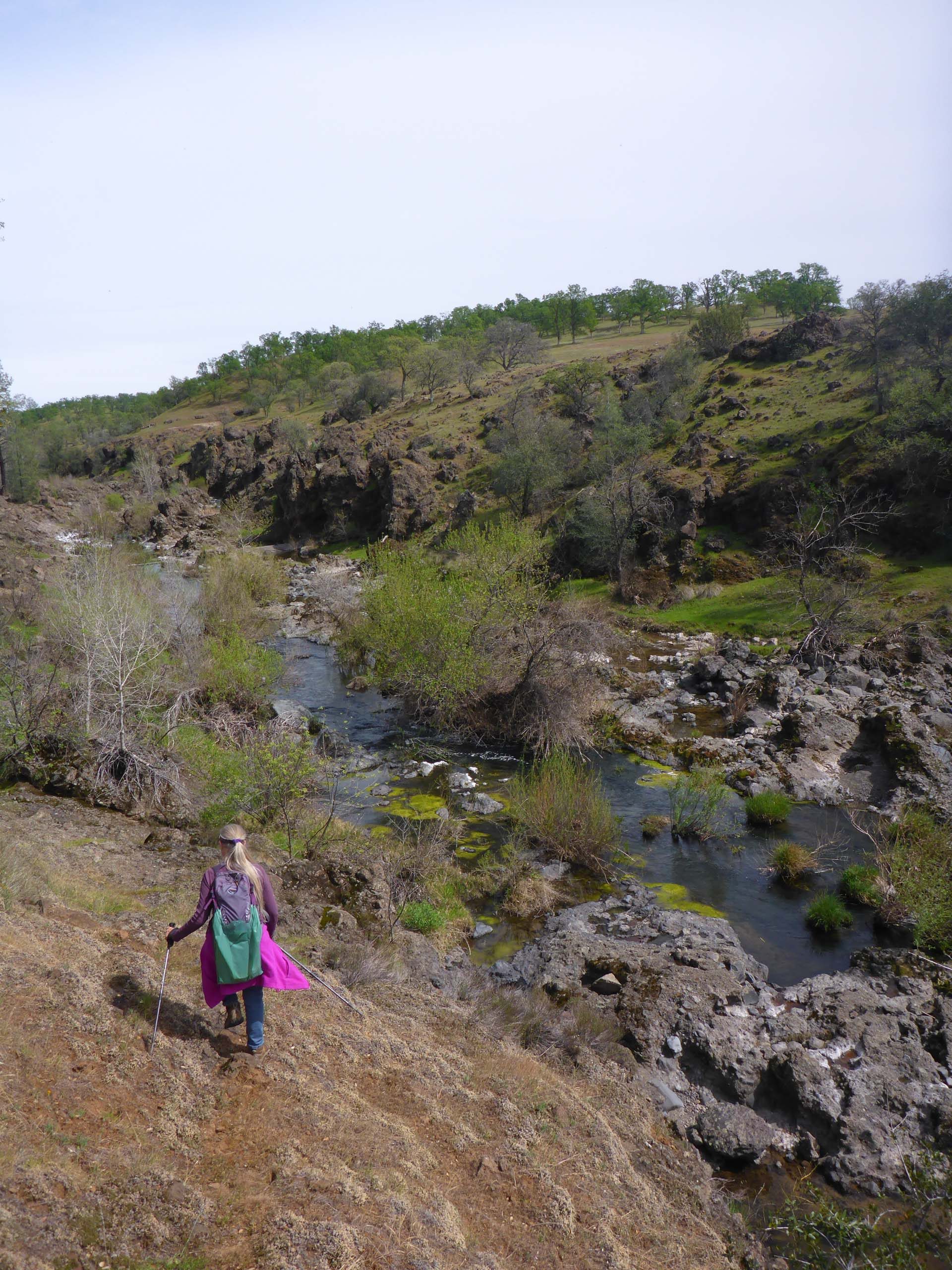
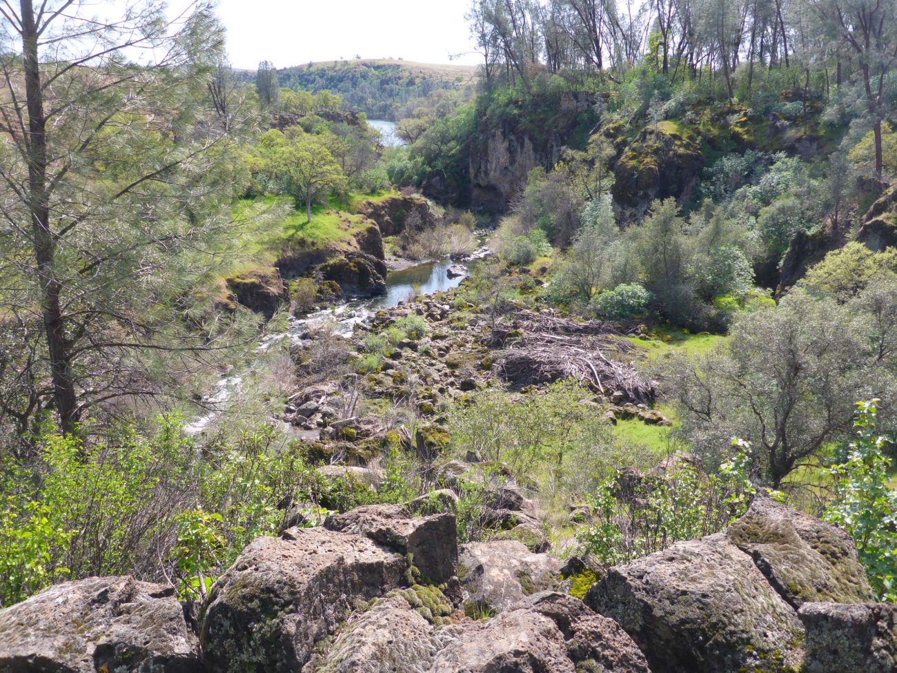
Soon a gate* appears on the trail, as does a fork in the trail. The official Emu Trail takes the left-hand fork a short way to an overlook above Paynes Creek, very close to its confluence with the Sacramento River. It is a lovely view from that point. In addition, the “goat-footed” may very well find their way down to the creek bed from this prominence, should they be so inclined.
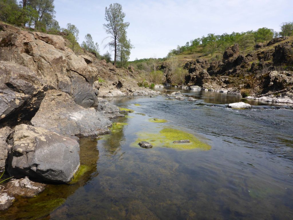
Always “so inclined,” we bushwhacked our way down to and then up the creek for a considerable distance, climbing back up onto the plateau to take the Wetlands Trail back to the car. The Wetlands Trail begins at the same place as Emu Trail, but meanders east and north, into the wide-open Paynes Creek Wetlands.
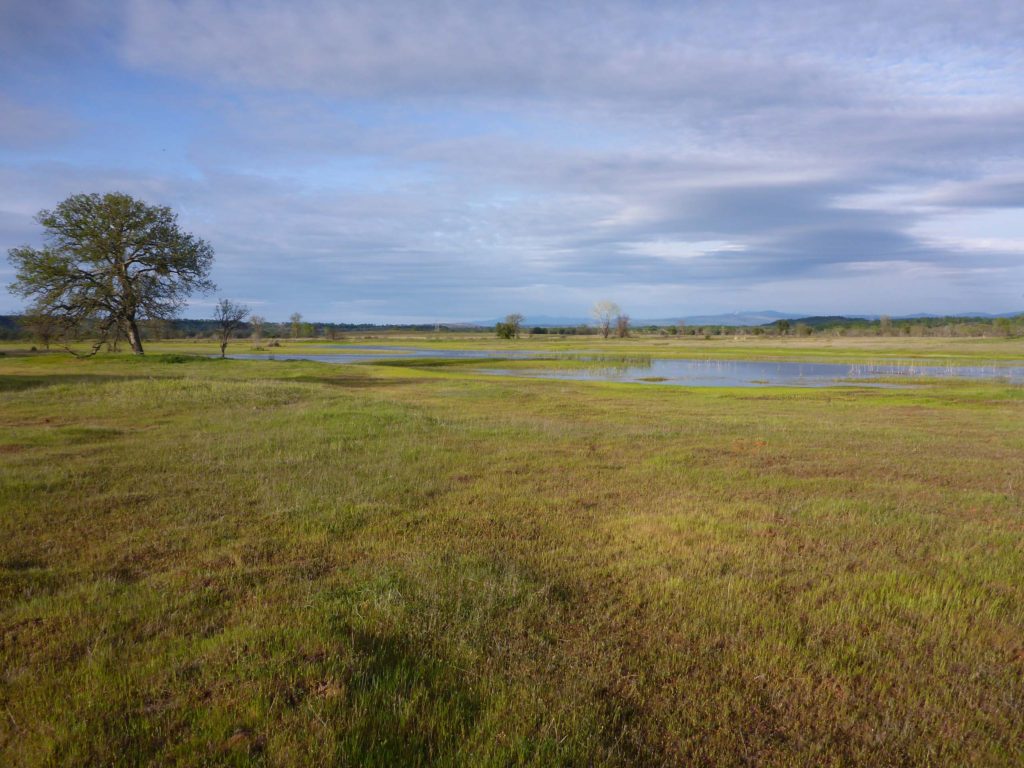
Both of these trails are nice, flat trails with good footbeds. They are very accessible and, especially in the case of Emu Trail, provide lots of interest in a very short distance, with a magnificent view at the end. We highly recommend these trails for easy day-tripping, for hikers of all abilities.
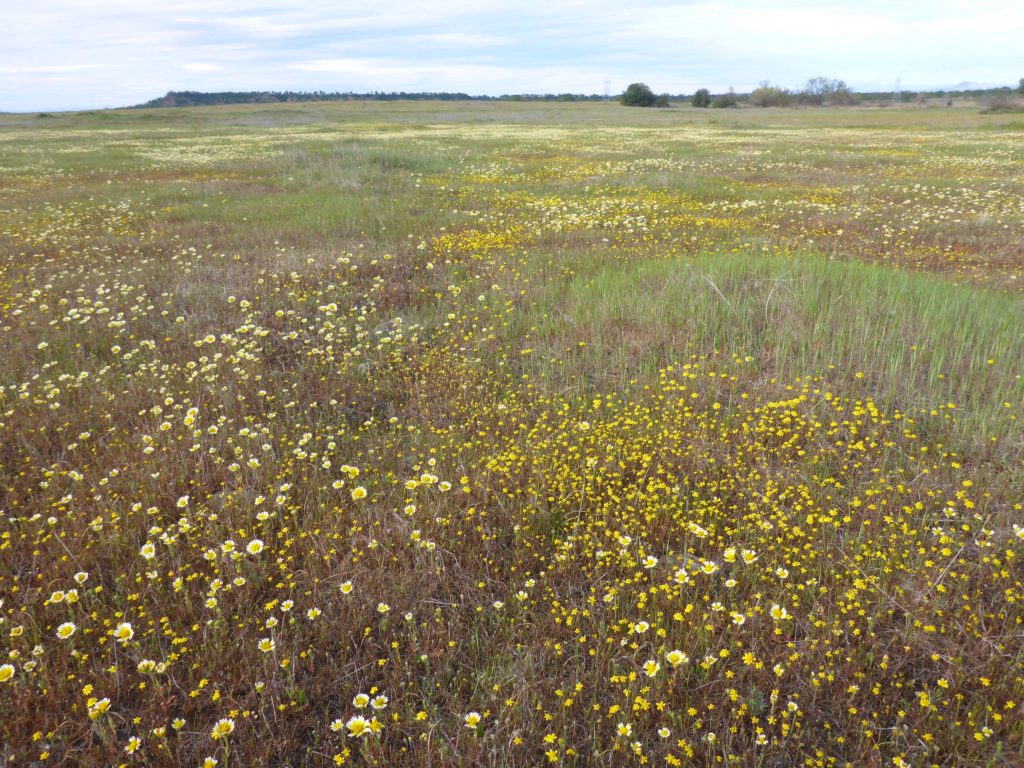
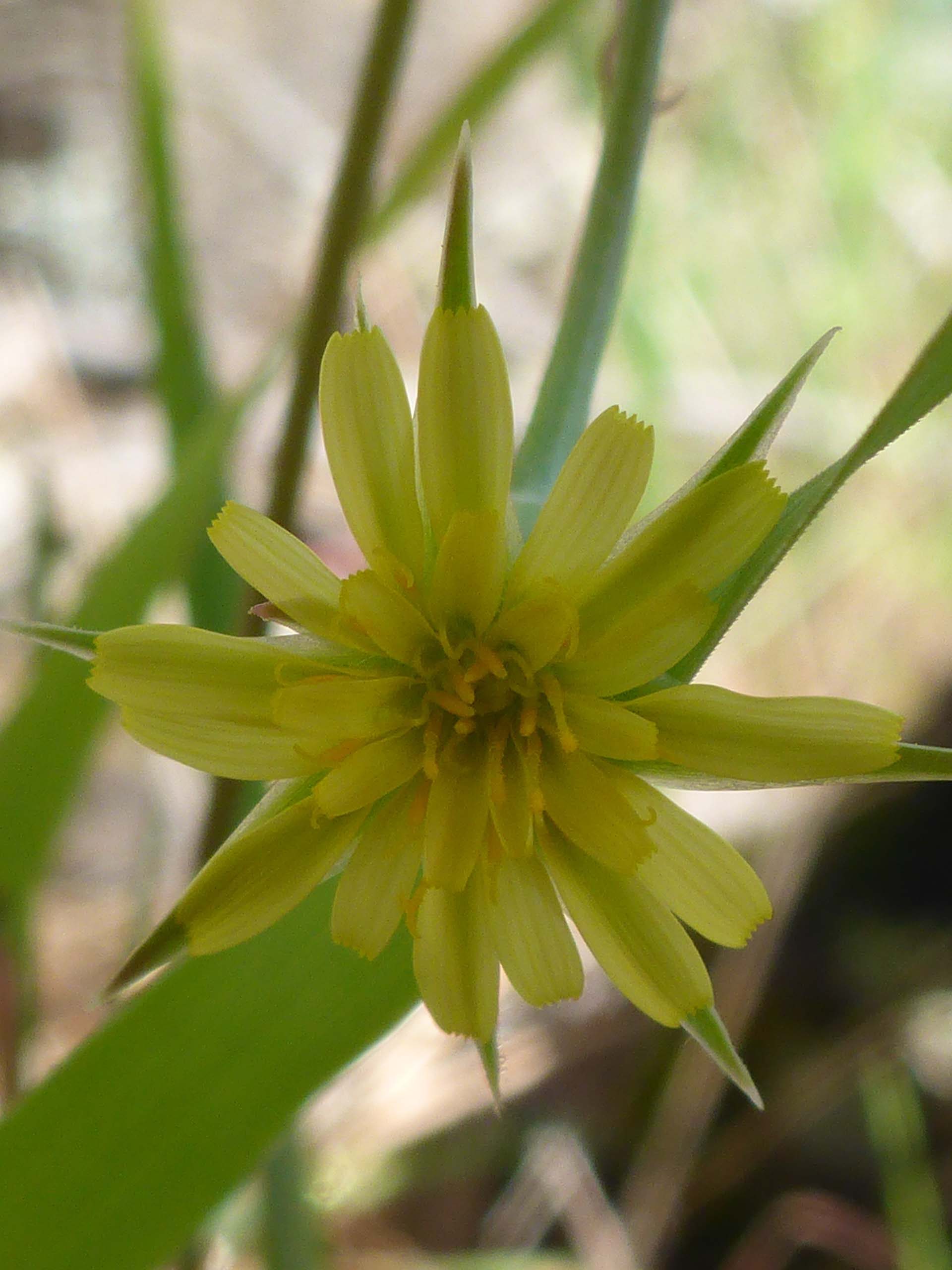
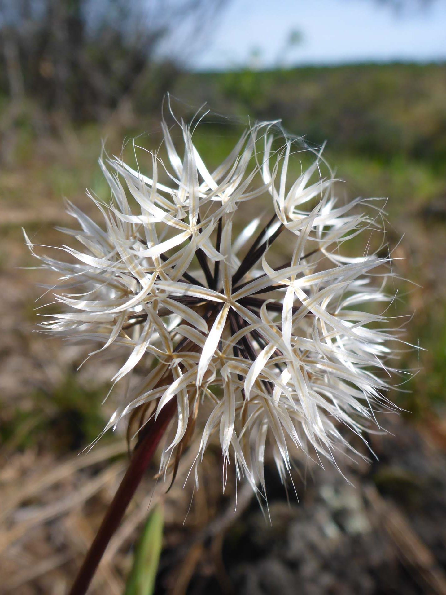
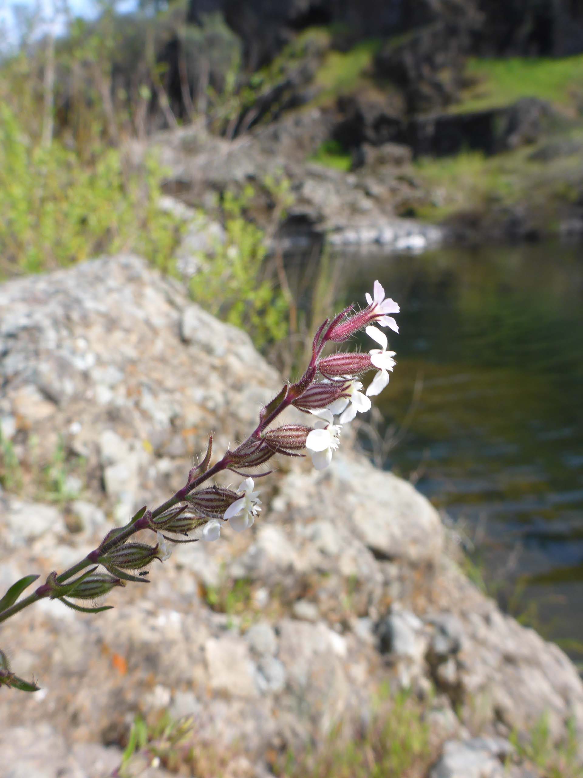
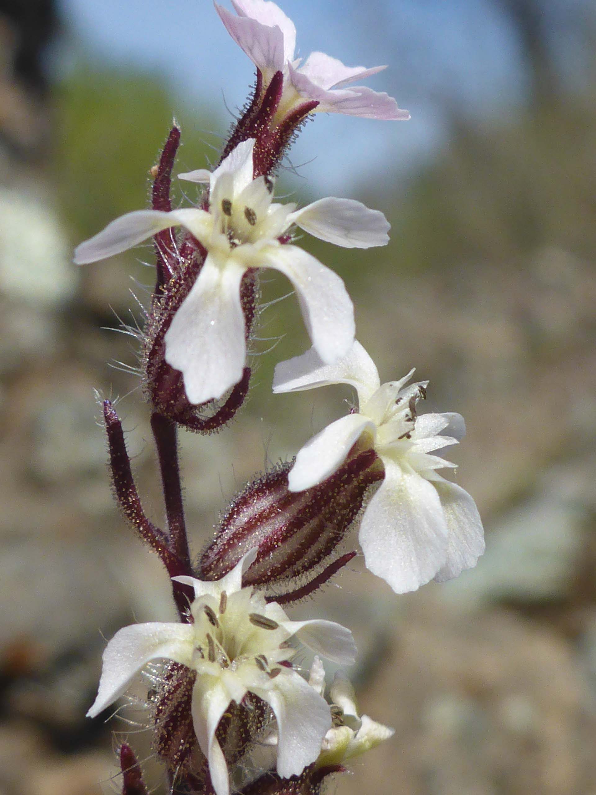
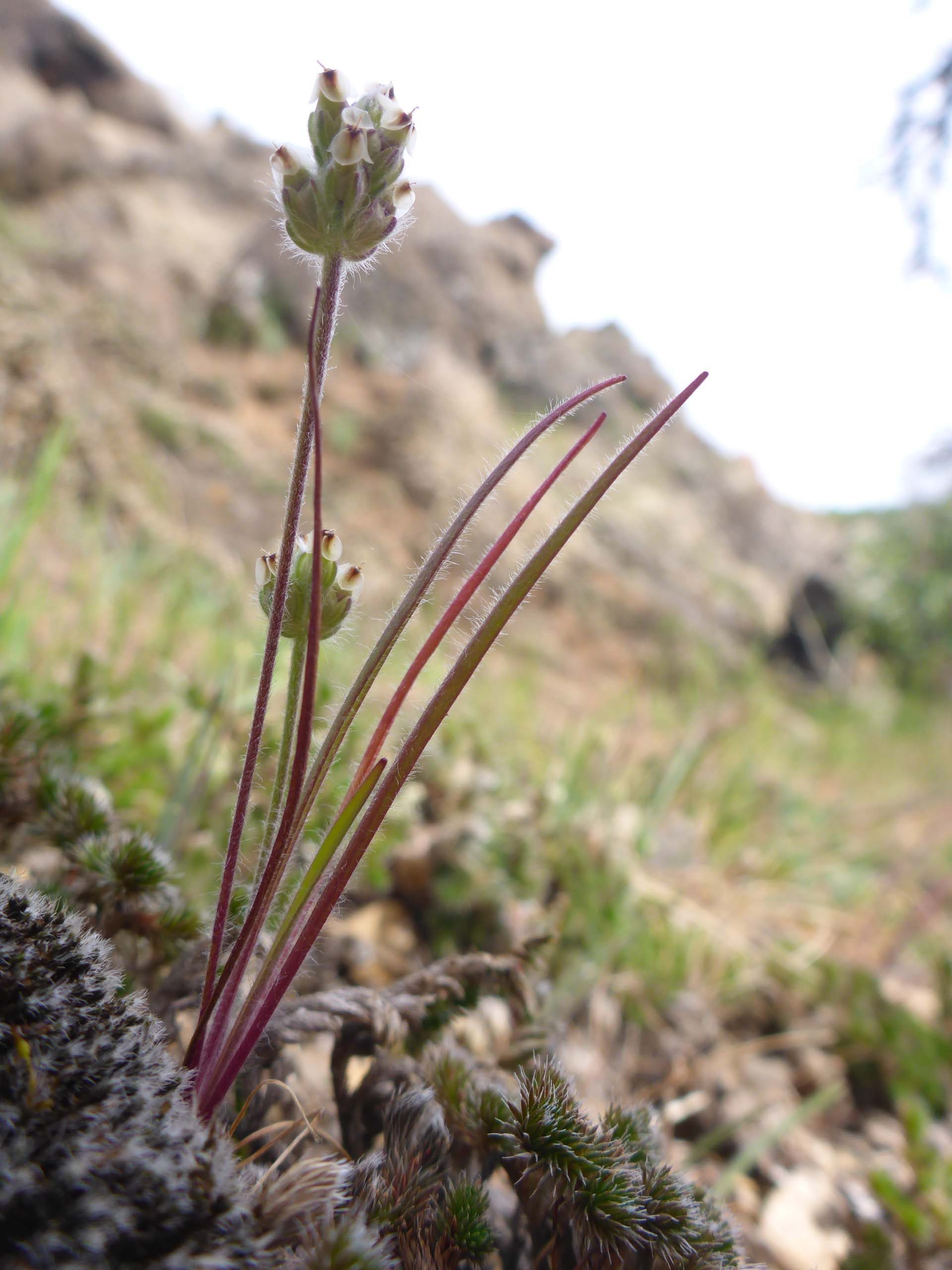
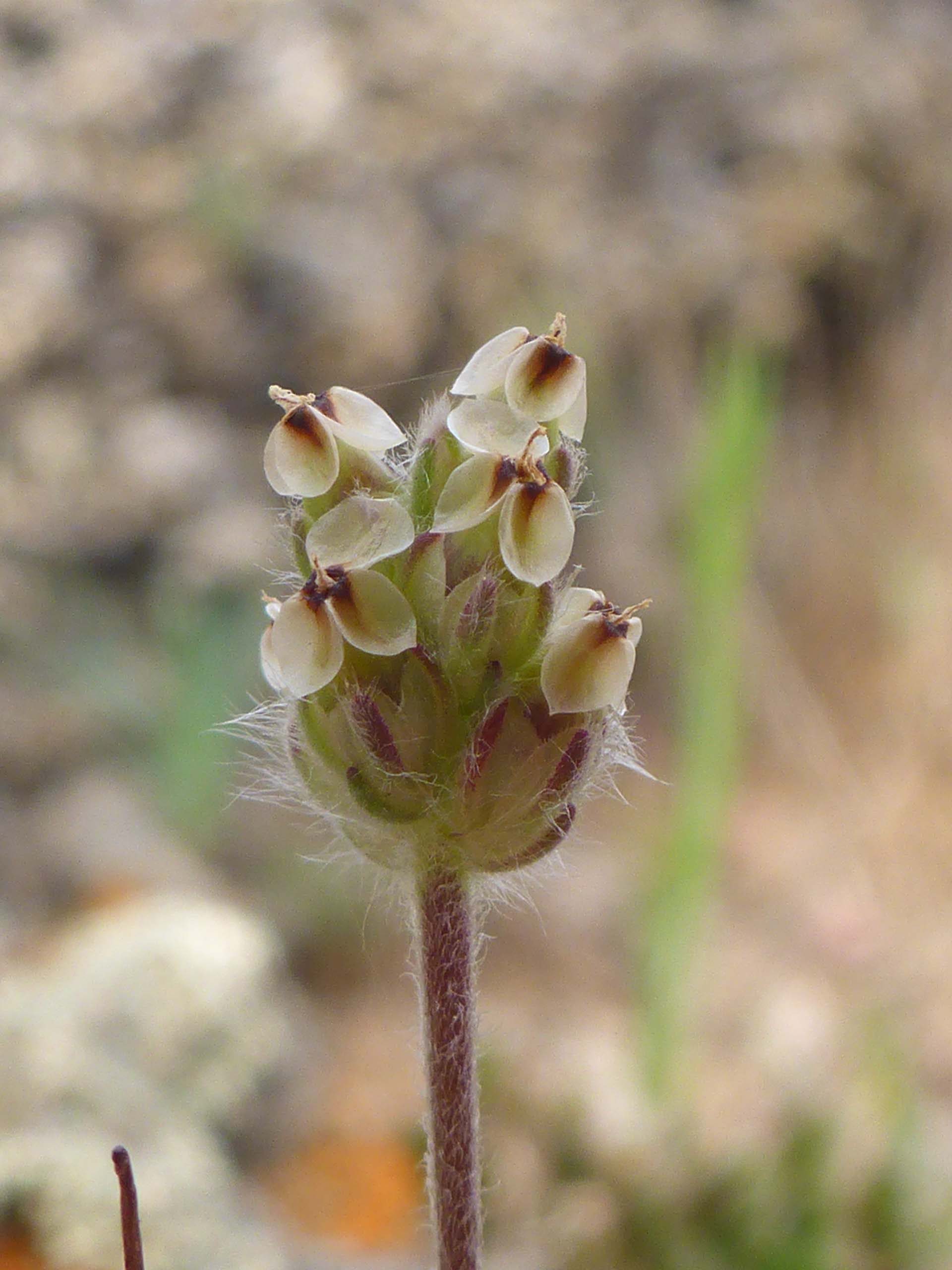
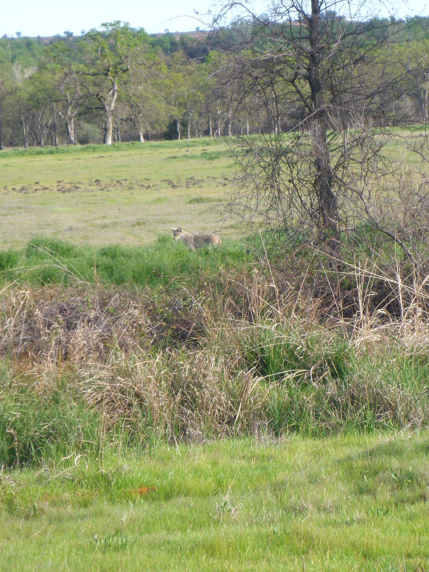
We saw over 100 species in bloom on this hike. Here are just a few, plus some other fun shots from that hike. All photos by Don Burk. Enjoy! -Laurie and Don Burk
*Beyond the gate lies a stretch of private property, which gives way again to Recreation Area land, on which there is another promontory, closer to the creek-river confluence, as well as a fisherman’s trail that leads down to the river. While people do use this trail, Shasta Chapter CNPS certainly cannot condone its use.

