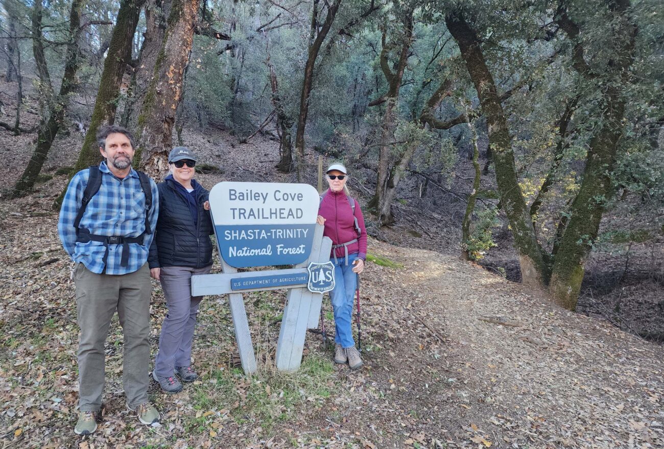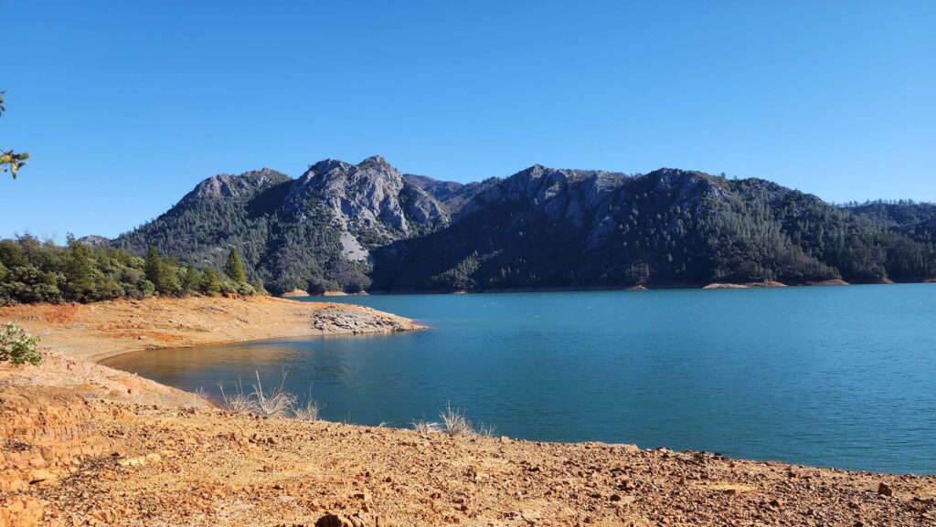
Here’s a great little hike suitable for just about everyone: Bailey Cove Trail—a ~3.1-mile loop trail that follows the shoreline of a peninsula that juts into the McCloud Arm of Shasta Lake. It is just south of Shasta Caverns.
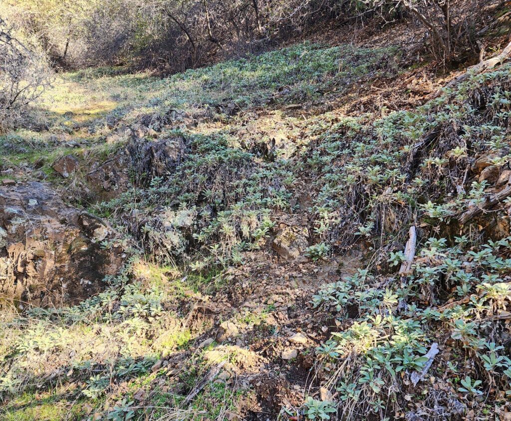
On this particularly fine, late Sunday morning, we met Amy & Brad Henderson for a lovely little walk on Bailey Cove Trail. Going counterclockwise, we started at the trailhead closer to the boat launch parking area (there are actually two trailheads), and hiked along the warmer, south-facing slope of the peninsula. One of the neatest things about this trail is getting to see the very definite difference that aspect makes. Along the south-facing section of trail, there is a great diversity of vegetation—including oaks, shrubs, herbaceous plants, and some conifers—in a warmer, more open setting than on the north-facing section of trail.

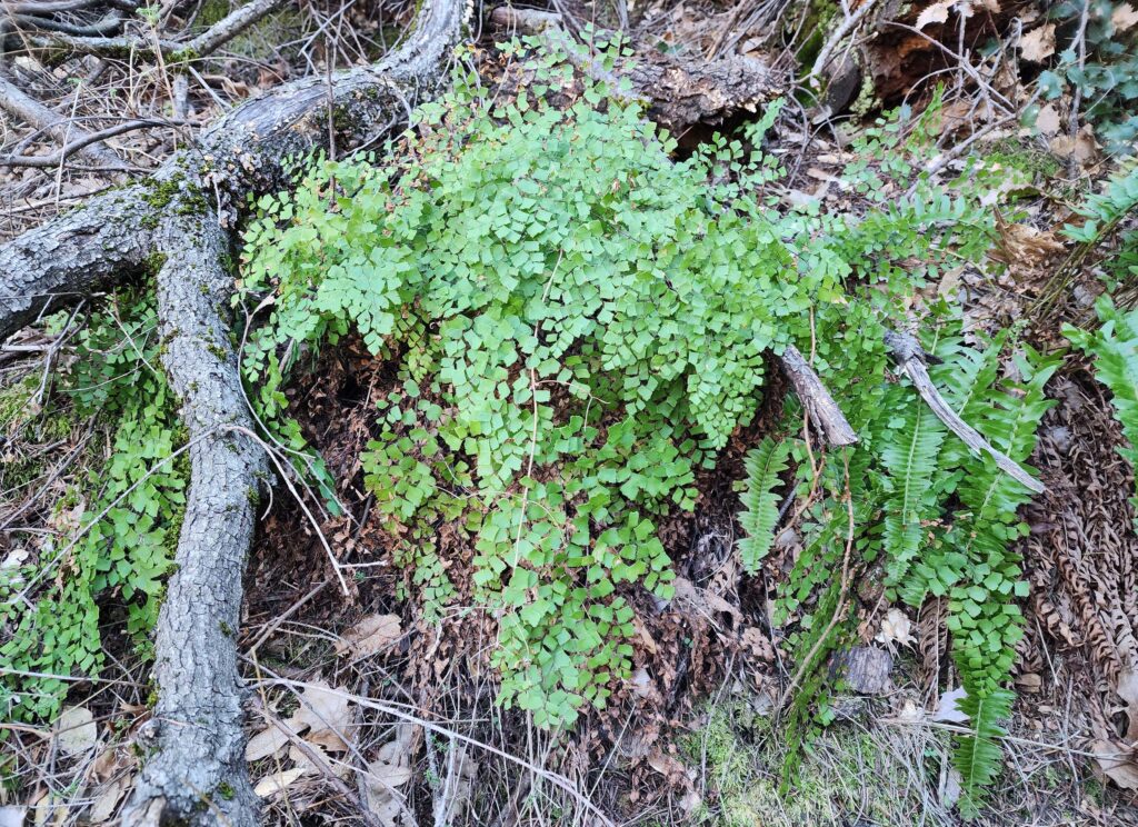
The north-facing section of trail is distinctly more shaded and cooler, has far less diversity, and is heavily forested with conifers. It was along this cooler trail section that we spotted several species of fern, including the winter-active Shasta maidenhair fern.

Photo taken January 12, 2025, by Don Burk.
To get to Bailey Cove Trail, take Interstate-5 exit 695, go east along Shasta Caverns Road until the road forks, and take the south fork onto Bailey Cove Road. The two trailheads are at the end of this road (about 1 mile off I-5): one is closer to the boat launch parking, the other by the campground. There is a $12 use fee; dogs are allowed on leash; and there are flush toilets.
We highly recommend this fun and easy loop trail. Almost flat and well maintained, this trail can be done and enjoyed in short order; even our group of self-proclaimed “pokey” hikers, who likes to stop to admire every detail, took only a couple of hours for a very leisurely hike. Give it a try! ~Laurie & Don Burk

Photo taken January 12, 2025, by Don Burk.
