I have conflicting feelings about the trail originating at Gray Rock Lakes Trailhead, Shasta-Trinity National Forest. On the one hand, it gets you to three pretty cool lakes in very short order. On the other, the short distance feels ten times longer than it really is due to its many insanely steep and rocky sections.
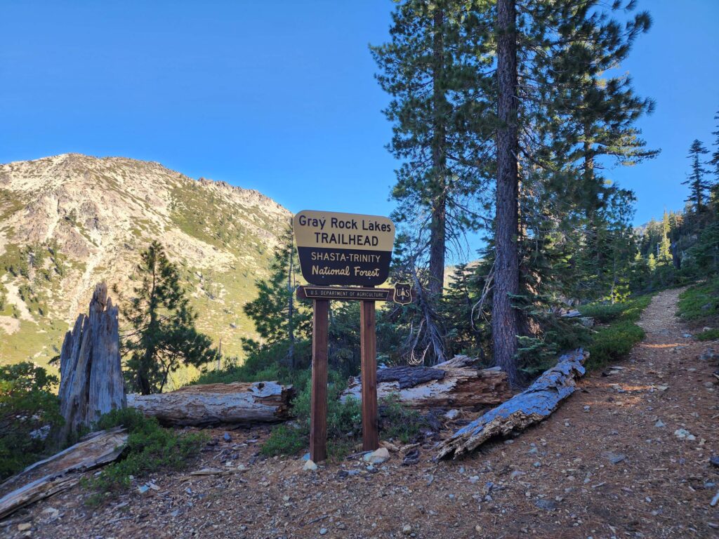
Photo taken September 29, 2024, by Don Burk.
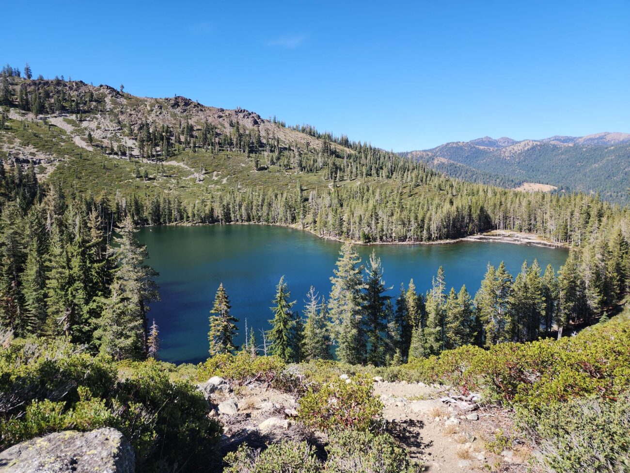
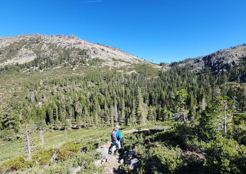
On the nicer, flatter sections of trail, when I wasn’t consumed by cursing the trail builders, I could appreciate the landscape and views. Traveling mostly through open to sparse conifer forest, the views to the north and northwest are splendid. And the diversity of conifers was quite amazing: pines, firs, hemlocks, cedars . . . at least a dozen species.
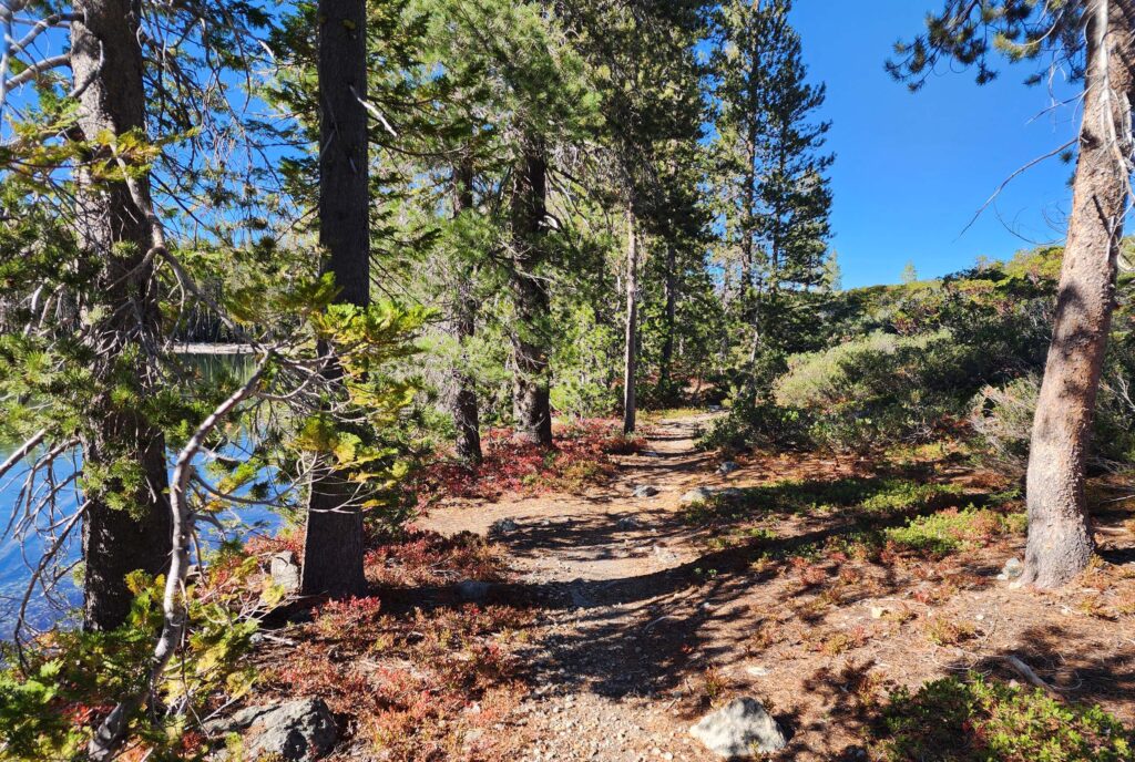
It’s only ~0.7 mile (260 feet in elevation gain) to Gray Rock Lake, and another 0.53 mile (300 feet elevation gain) to Upper Gray Rock Lake, or 0.4 mile (100 feet elevation gain) to Timber Lake, depending on which fork you take. It took us less than two hours to visit all three lakes, despite the fact that we are pokey hikers and that the trail was mostly pretty bad.
Surprisingly, we met several groups at the lakes. At Gray Rock Lake, we met two moms with a passel of kids—more kids than you could shake a stick at—out for a Sunday picnic. Gray Rock Lake is large (11 acres) and very pretty, with lots of flat ground around the north and east shores suitable for camping and letting your kids run amok.
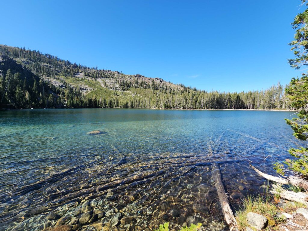
Photo taken September 29, 2024, by Don Burk.
Steeply above Gray Rock Lake is the much smaller Upper Gray Rock Lake. There are very few places to access the water along its shrub- and log-choked shores, but 30 years ago there was at least one camping spot, which we used on an overnight backpacking trip with a passel of young kids of our own. It was our daughter’s first backpacking trip. She was three years old and had to be carried through the brush that was over her head when we lost the trail. (What ever were we thinking?!) Today, the trail is fairly easy to find, despite the network of use trails that cross it, and the brush is not especially high, even for a three-year-old.
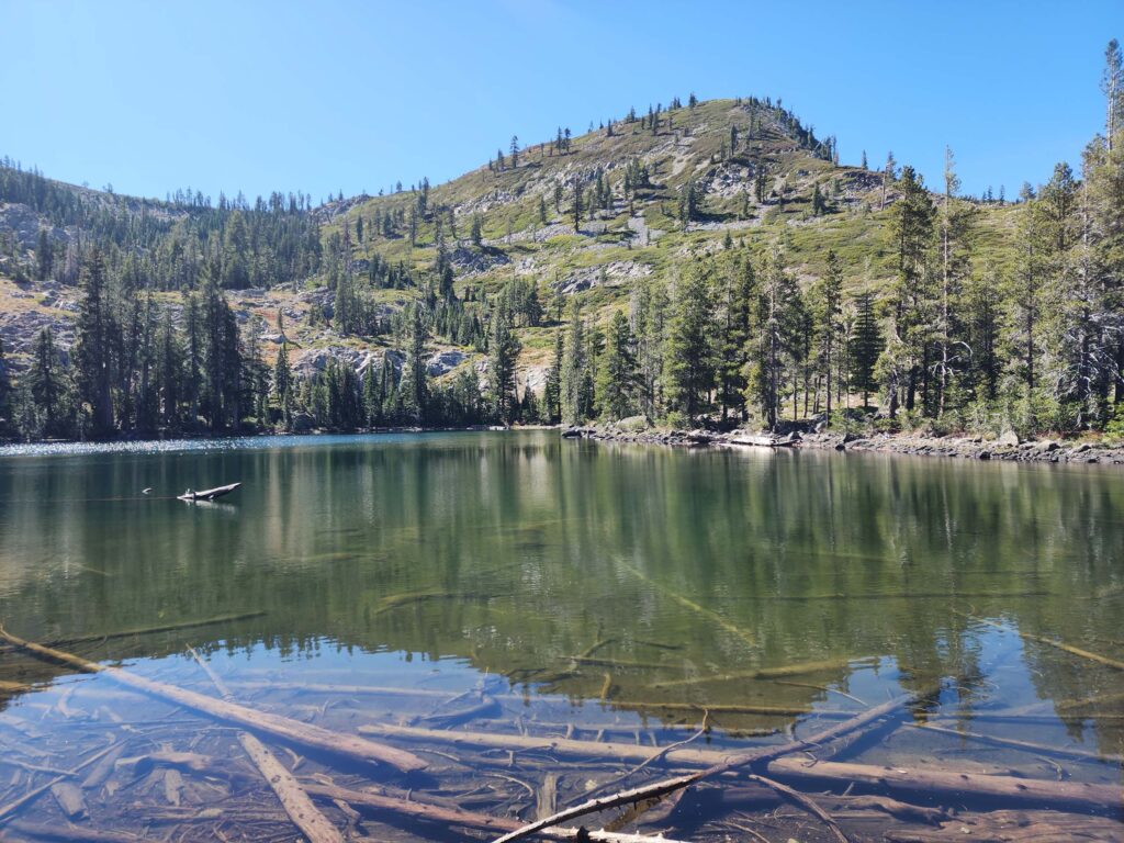
Photo taken September 29, 2024, by Don Burk.
Timber Lake is mid-elevation between Gray Rock and Upper Gray Rock lakes and just to the east. Again, one needs to navigate a network of trails to reach the lake, but because it becomes visible very early on, it is not too difficult to get there. Timber Lake was, by far, our favorite of the three lakes. Set against a grandiose granite backdrop to the south, its water had receded enough to to expose a lovely meadow at the northern outlet end, providing The Botanist with at least an hour of fun. The botanical highlight was the discovery of a previously unreported population of the rare (and highly unphotogenic!) water bulrush, Schoenoplectus subterminalis, a CRPR (California Rare Plant Rank) 2B.3 rare species.
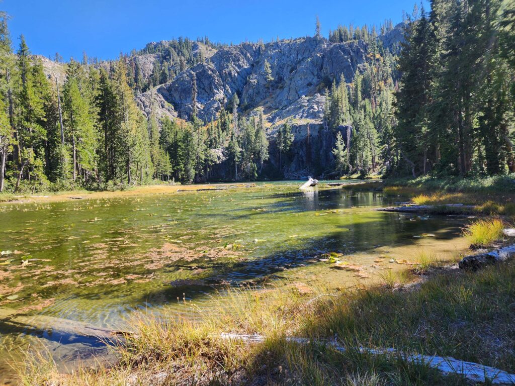
Photo taken September 29, 2024, by Don Burk.
Supposedly, one can continue on past Timber Lake to the saddle above, from which Scott Lake is visible on the other side. From the saddle, if you are still looking for more punishment, you can climb to the top of Gray Rock Dome. So they say. We saw no trails leading in those directions, but neither did we look for them.
To get to Gray Rock Lakes Trailhead, take WA Barr Road (which becomes Forest Road 26) out of Mt Shasta and follow it for 9 miles to the first Forest Service bridge over the Sacramento River. At the other side of the bridge, take a sharp right onto Forest Road 39N45. It parallels the river for 1.25 miles before intersecting Forest Road 39N41. At the intersection, turn left onto FR 39N41. (Total of ~2.5 miles of bad dirt road.) A word of caution! This road is just about as bad as the trail, if not worse. Very rocky and steep and deeply trenched in places. One must have a high-clearance 4WD vehicle to make any real progress, and even then, most hikers will park ~0.25 miles below the trailhead and just walk the remaining two switchbacks (165 feet elevation gain) when the gullies in the road become insanely deep.
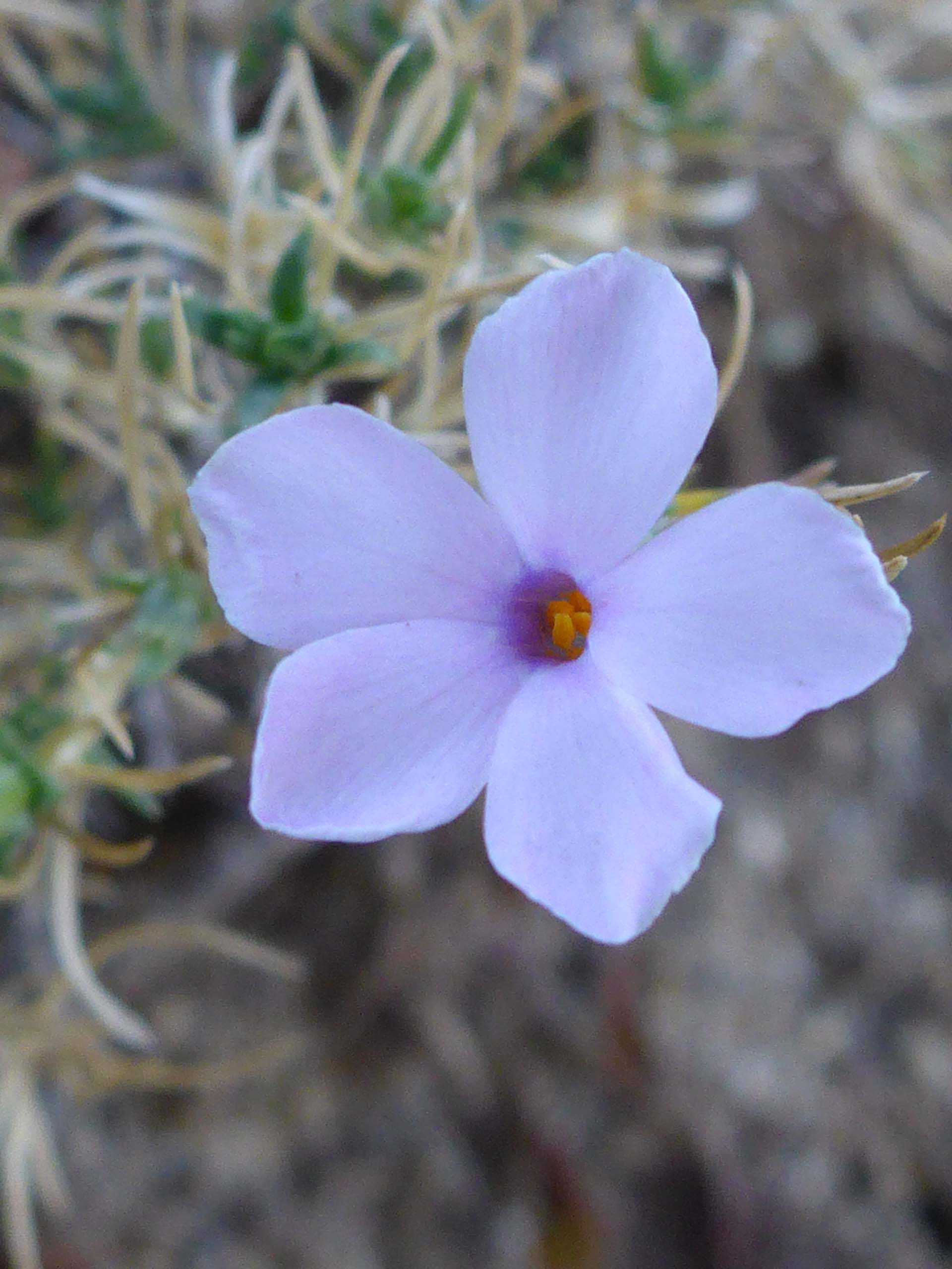
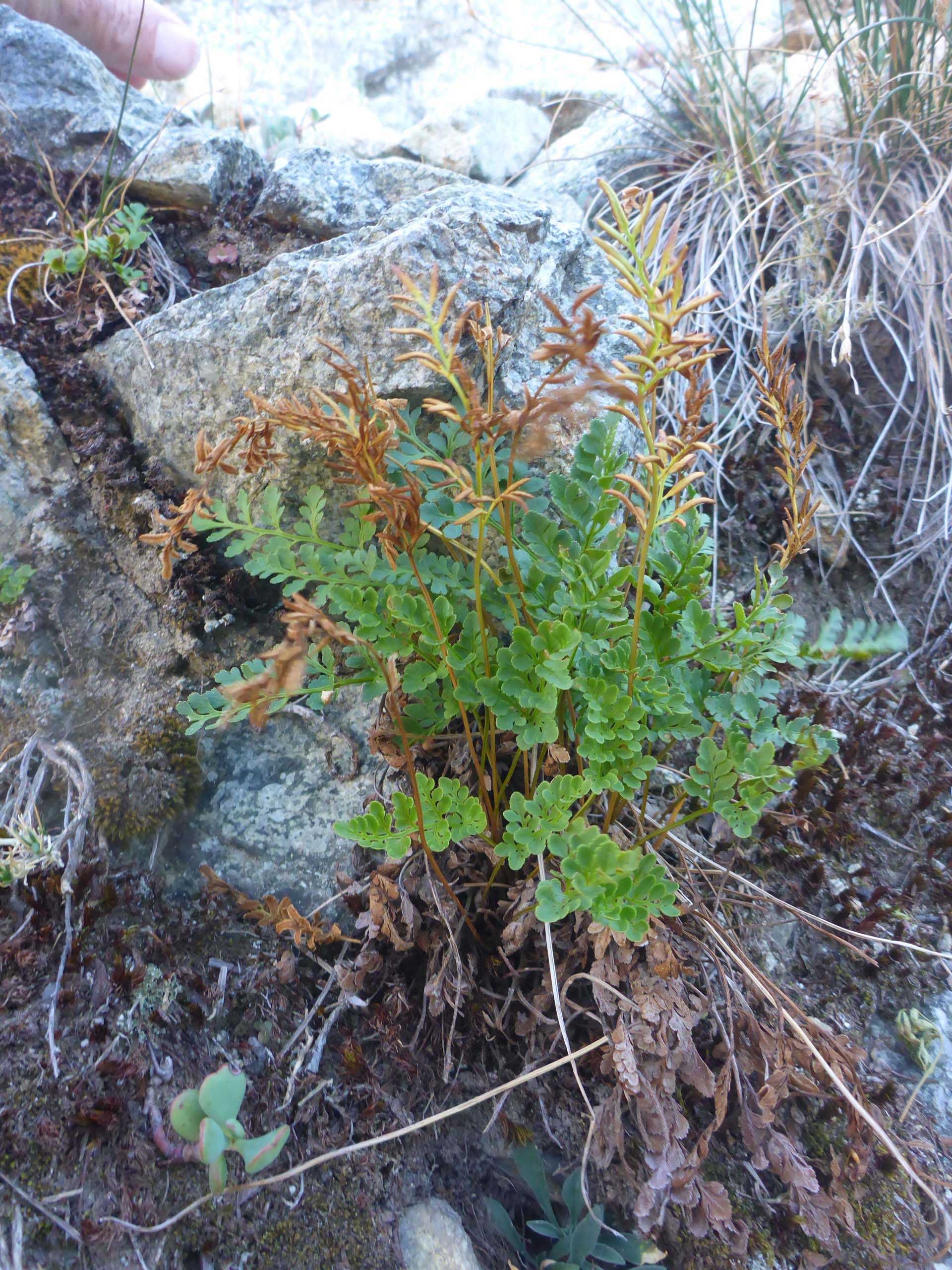
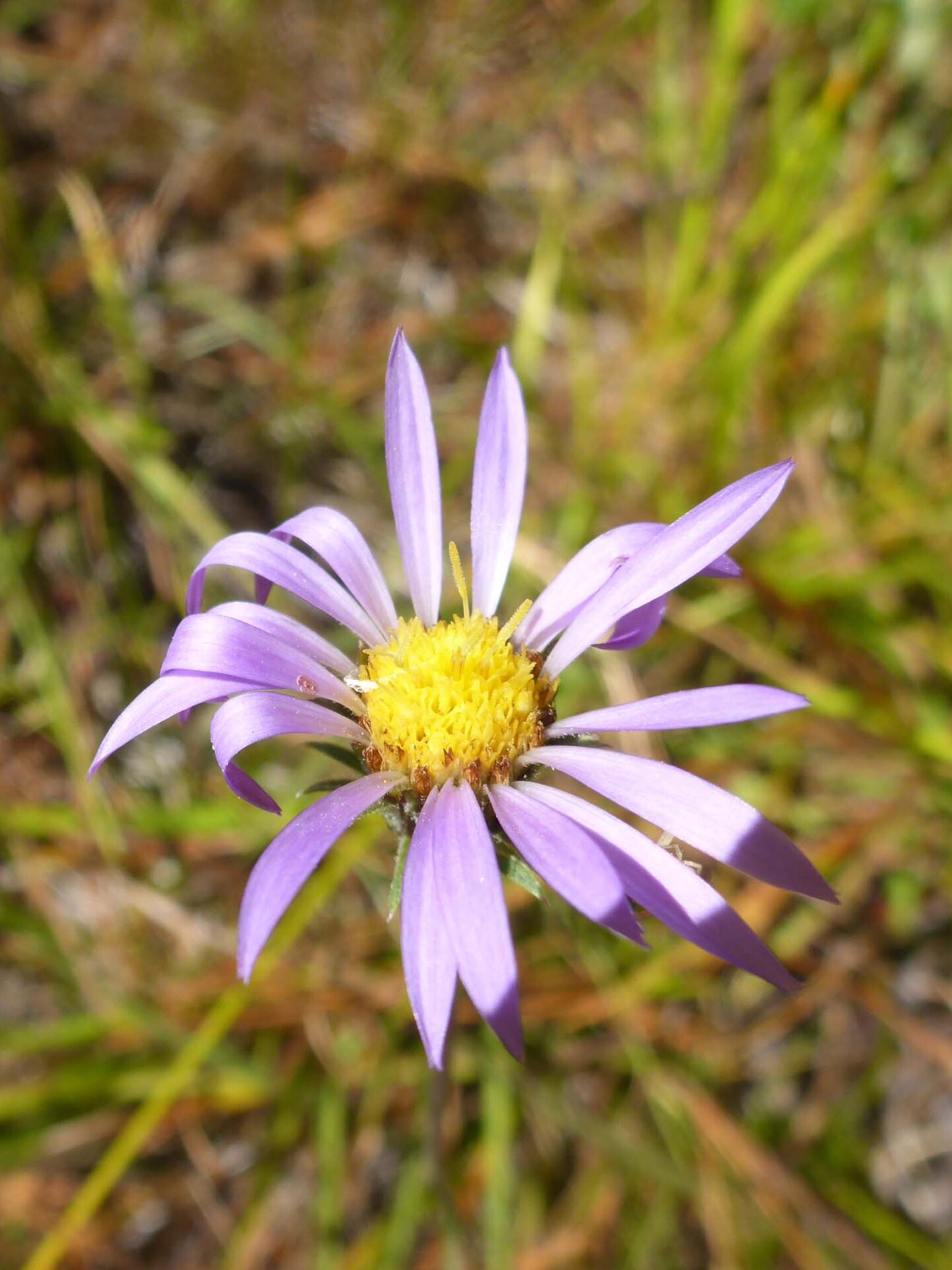
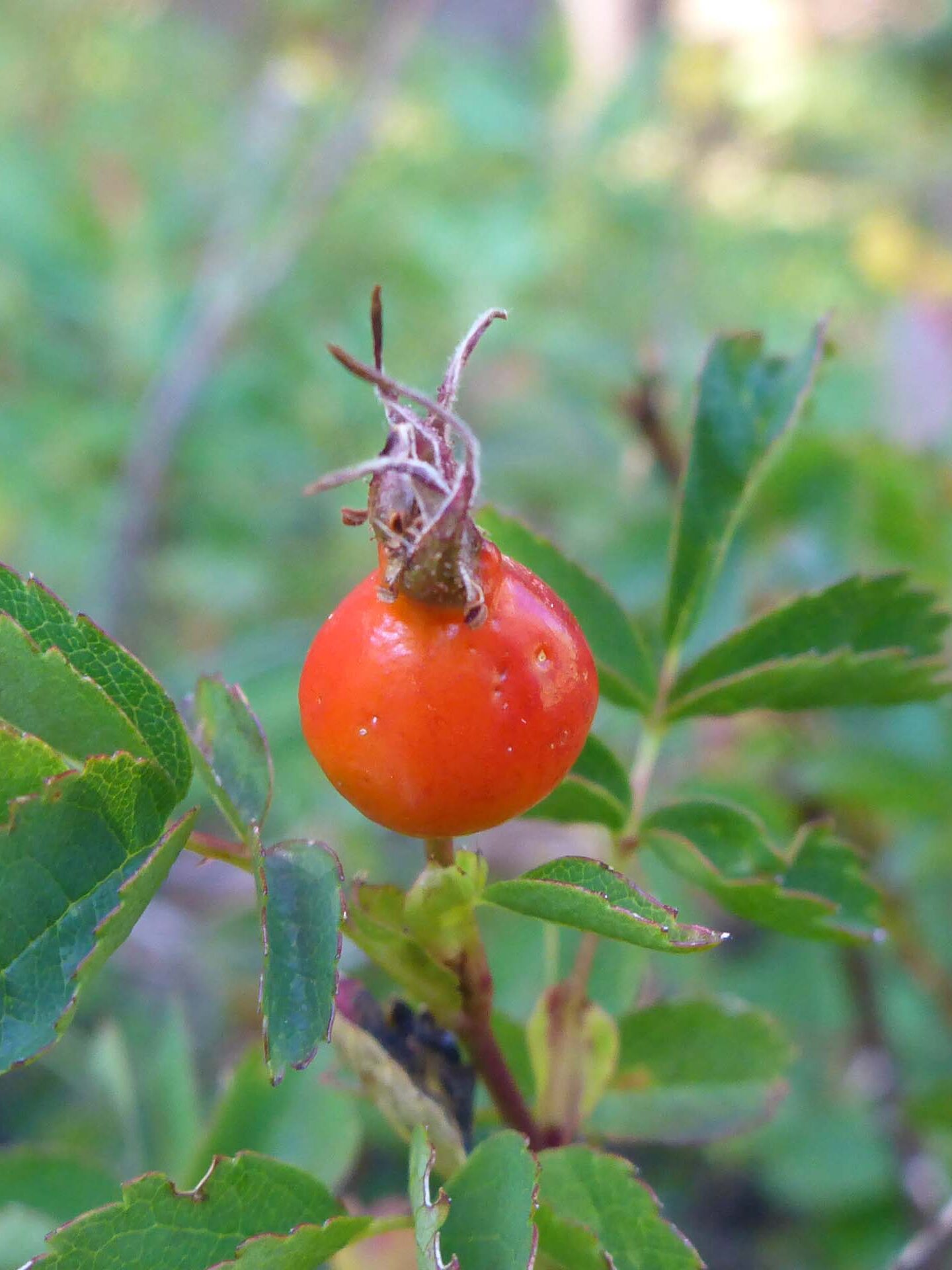
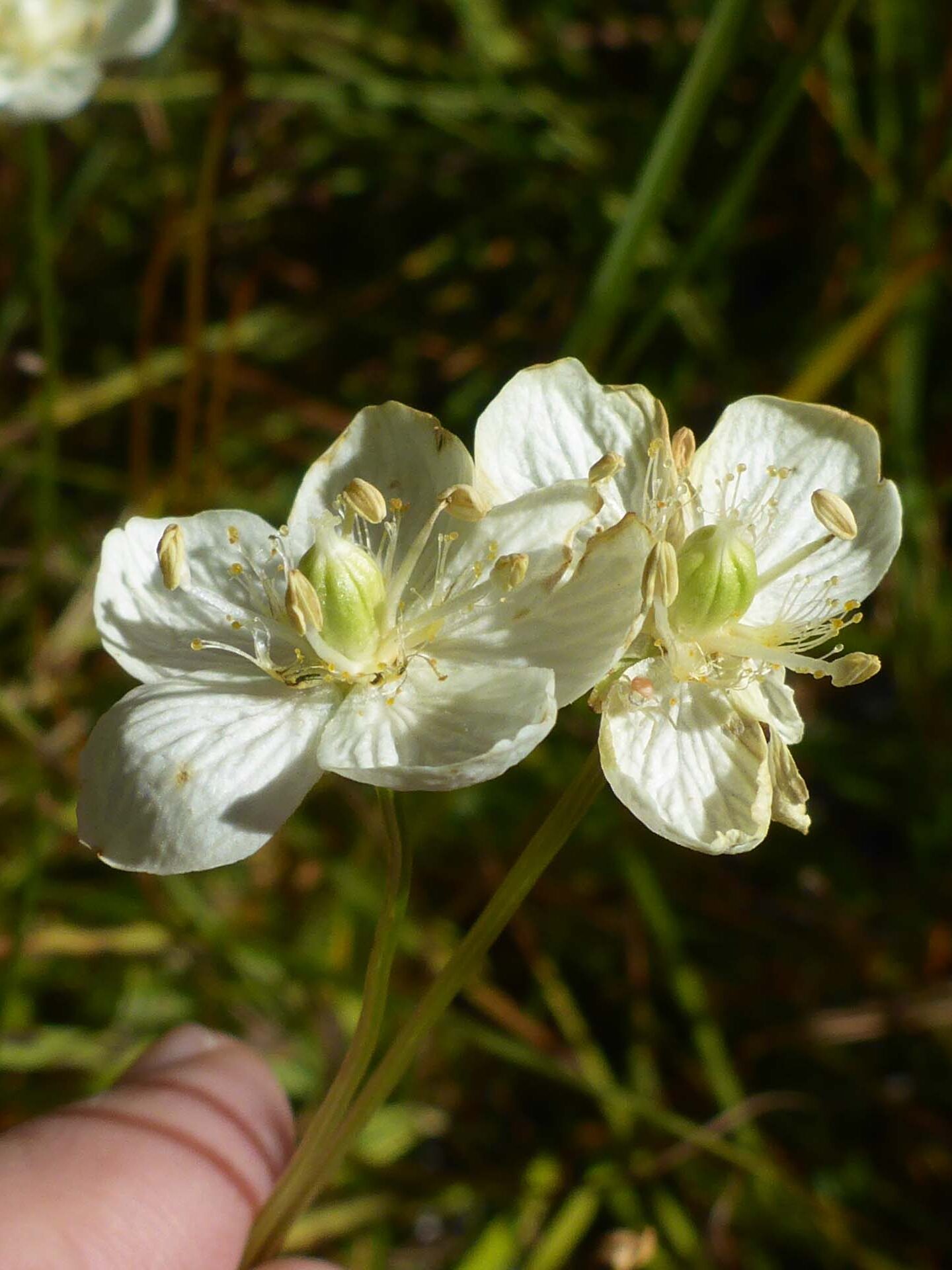
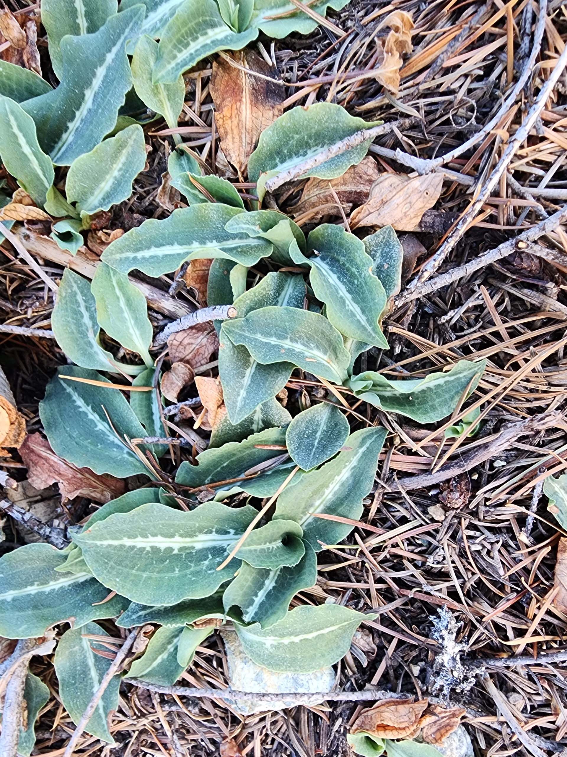
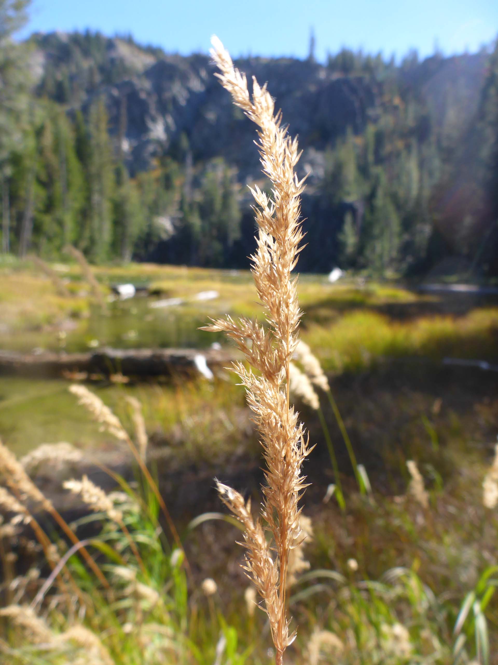
With this very poor road leading to an equally poor trail, one must wonder what the draw is! You’ll just have to go see for yourself, but until then, here’s a short slideshow that features the aspects of the area that drew our attention and interest. All photo by Don Burk. Enjoy! ~Laurie & Don Burk

