
If you’ve never been to the Thousand Lakes Wilderness in northeastern Shasta County, a hike to beautiful Eiler Lake would make a great first visit.
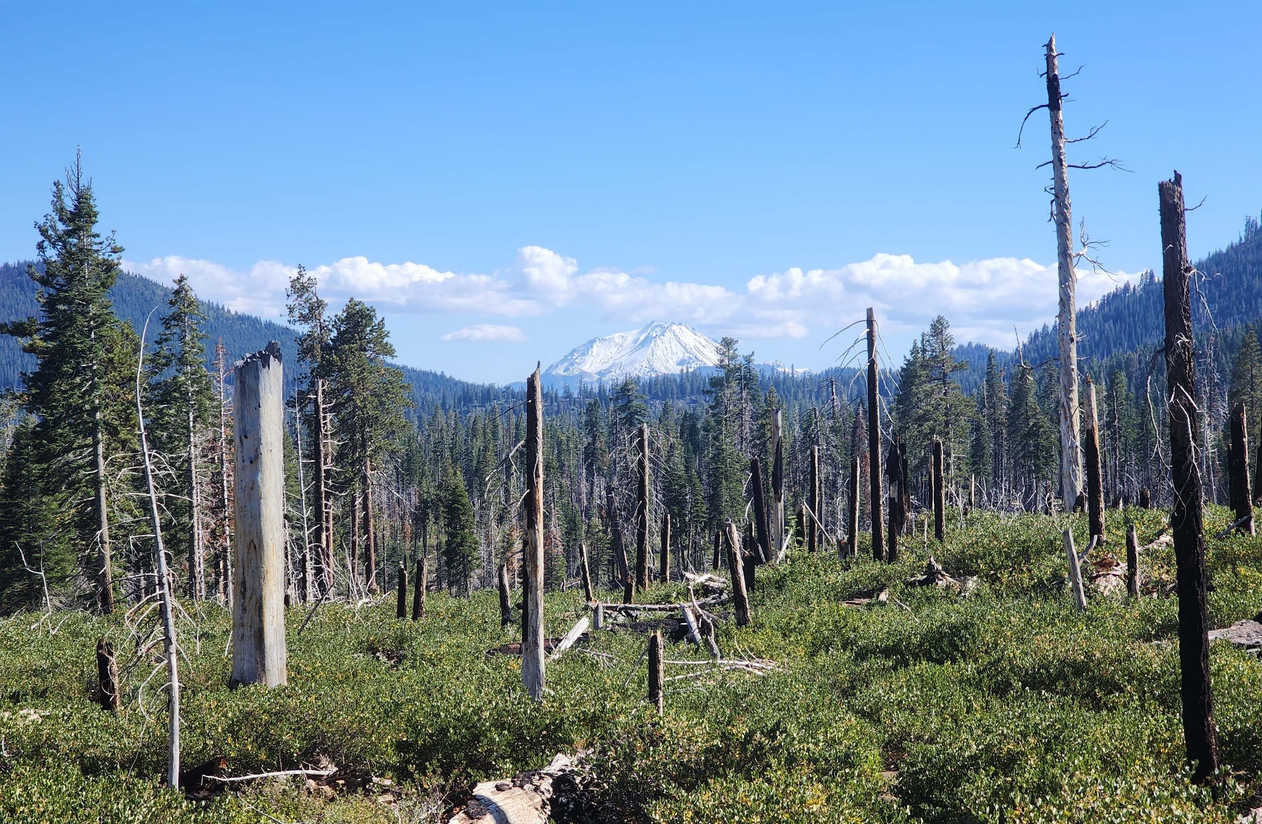
Set in the southern Cascade Range, it shares the same volcanic geology as Lassen Volcanic National Park and Caribou Wilderness to the south. Which means there are many, many lakes… so many lakes that no one has ever bothered to name them all! Only the largest lakes are named, and Eiler is the largest of them all.
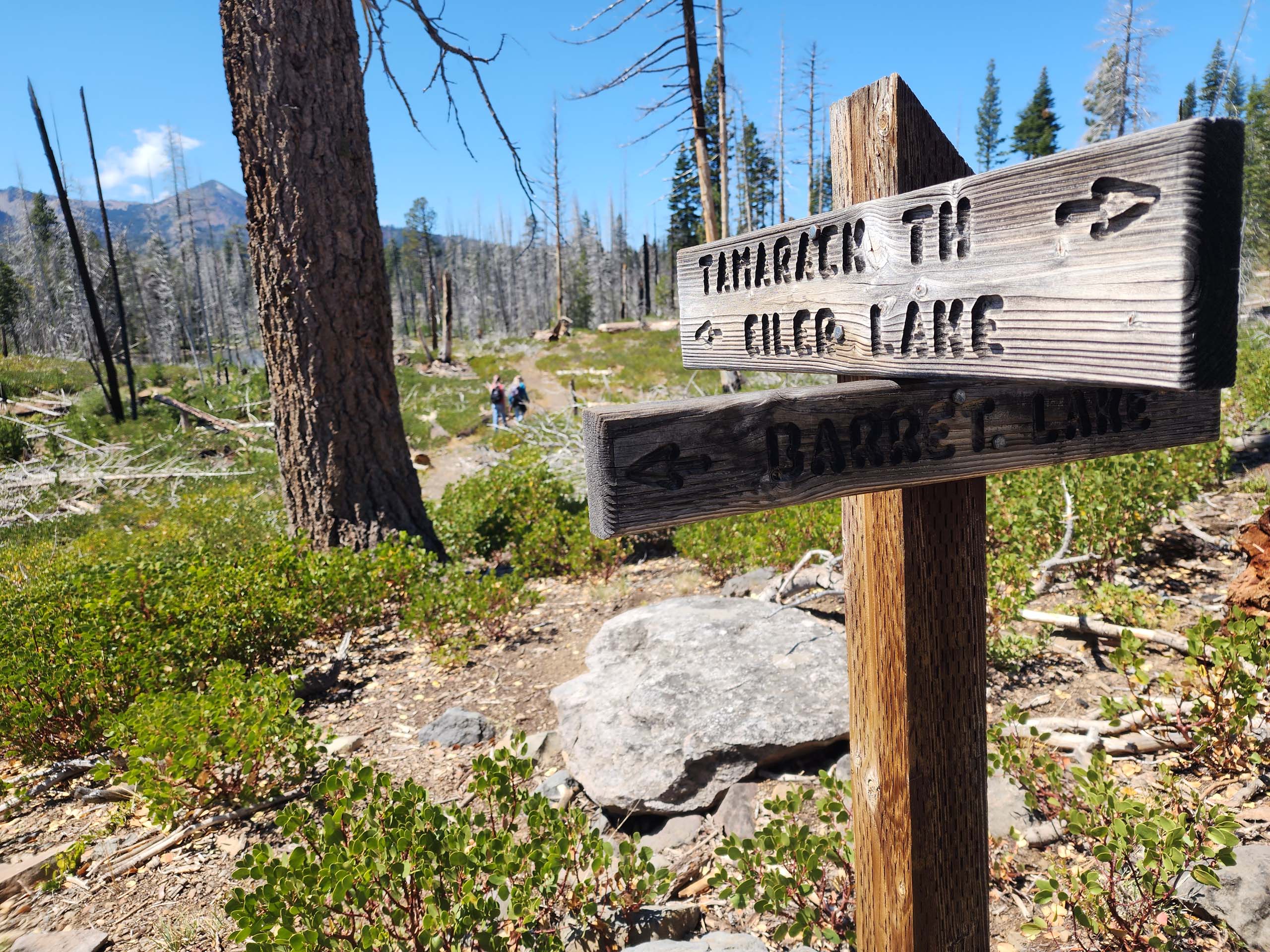
Of the three trailheads into the Wilderness (four if you count the no-longer-maintained Magee Trailhead), we chose Tamarack Trailhead for its easier (less steep!) approach to the lake. From here it is ~3 miles to Eiler Lake, with an overall ~810 feet in elevation gain, making for a hike difficulty of moderate.
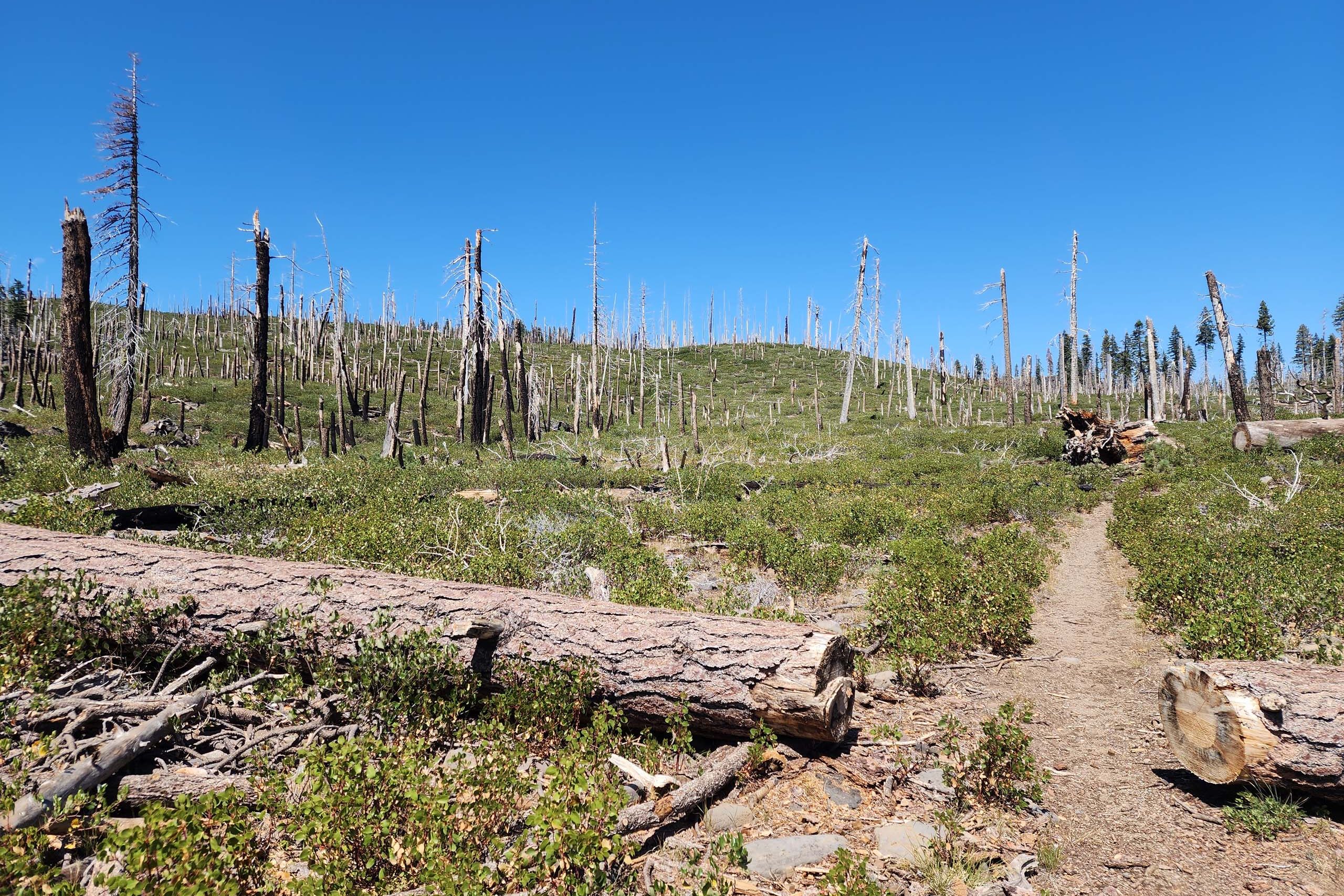
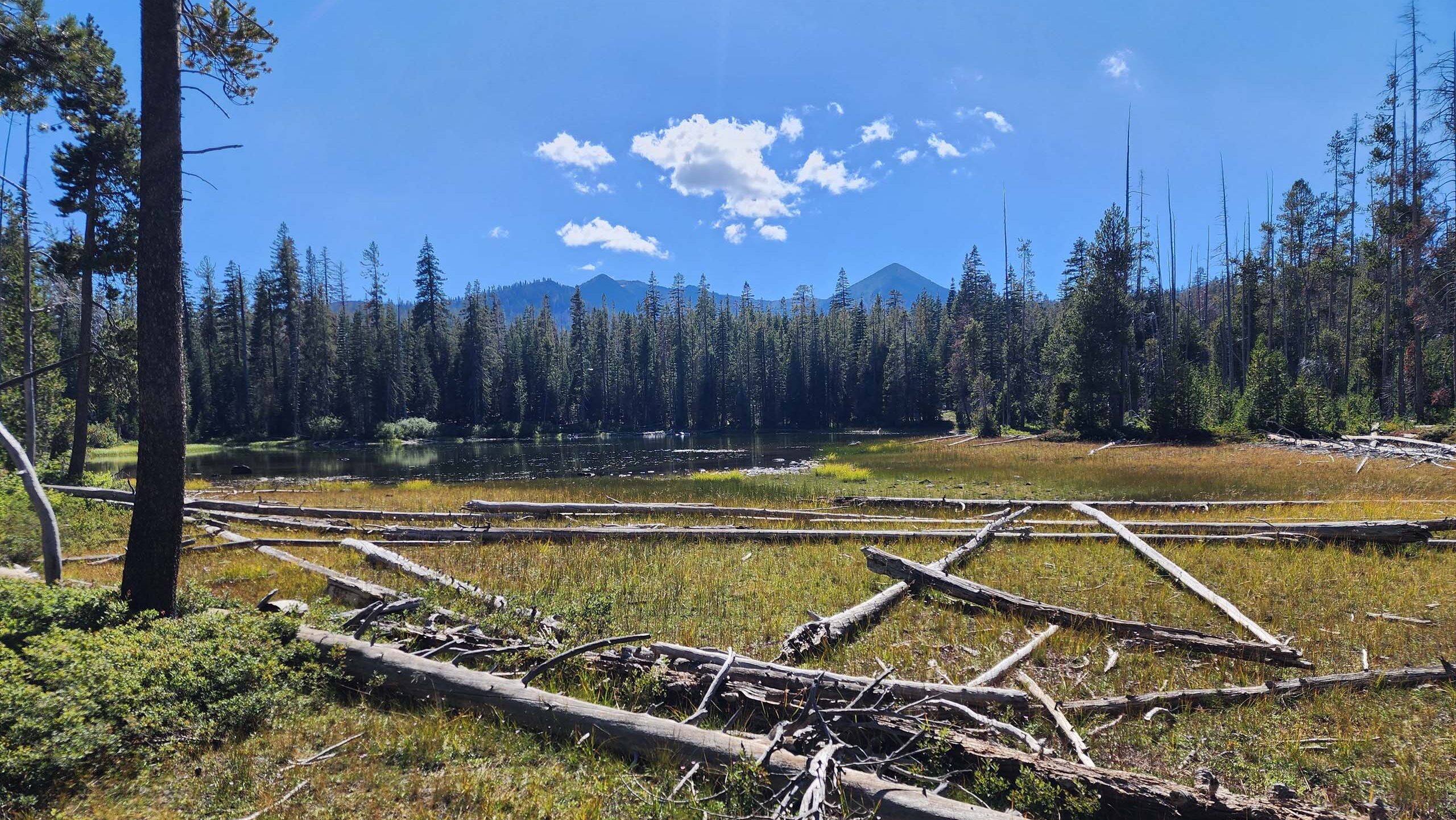
Most of the trail burned in the 2014 Eiler Fire, and revegetation seems to be rather slow; there is still a lot of devastation to hike through. To avoid hiking through these conditions, many people approach the lake from the other two trailheads (Cypress and Bunchgrass), but Don and I have always found it fascinating to see how a landscape responds to fire.
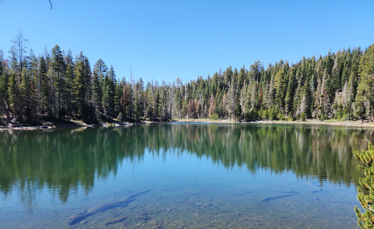
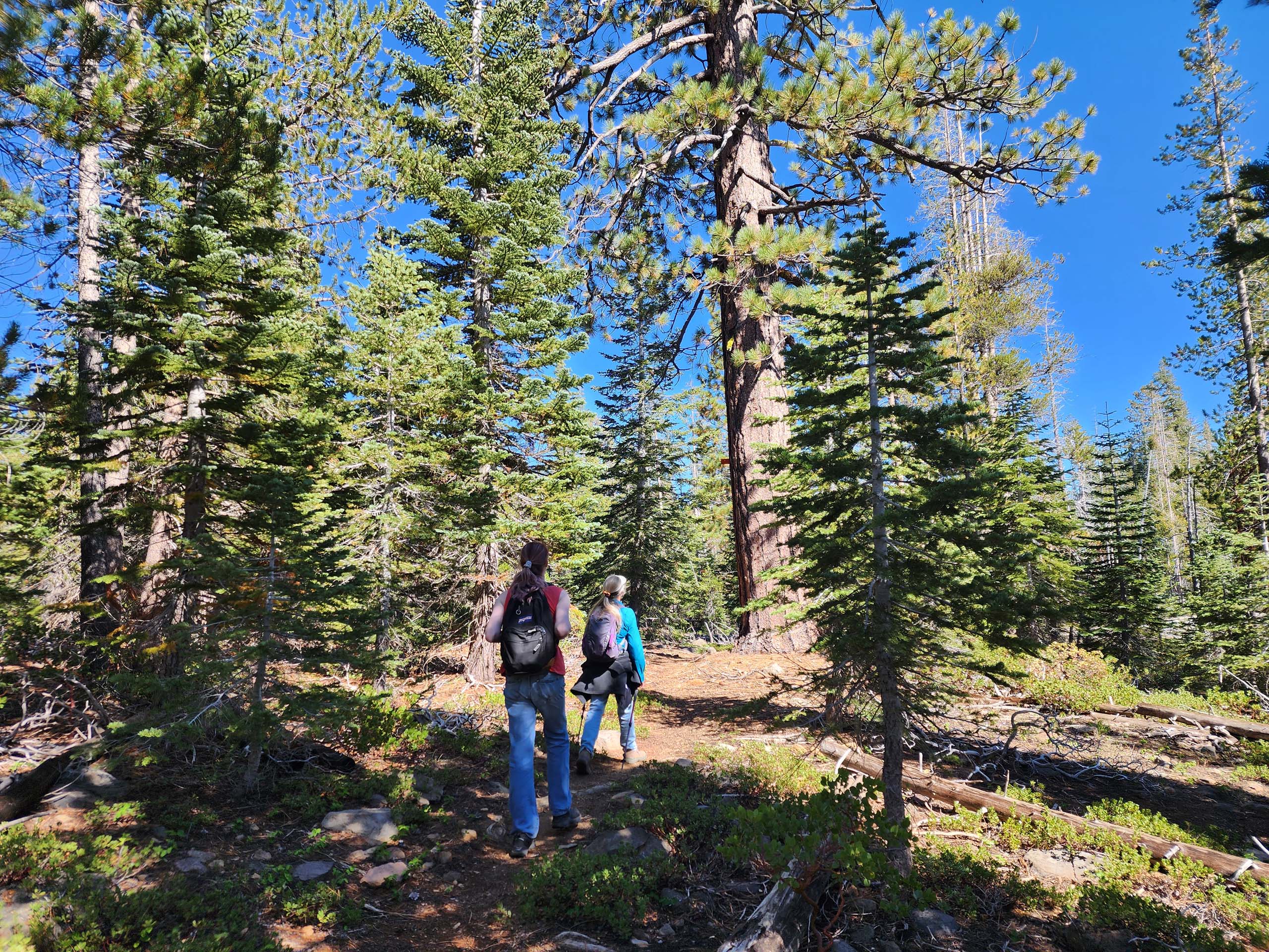
In any case, there is far less sign of the burn at the lake itself, and the trail follows closely along the south shore under dense conifer forest. This is a huge lake with miles of shoreline, offering many places to stop for a rest or snack. We found a meadowy place to stop for lunch and regroup.
From the lake shore, one has a choice: retrace your way back to the trailhead for an ~6-mile hike, or continue west along the shoreline to pick up a loop trail and add approximately 2 miles to the total hike. Since we were all feeling A-OK, we chose the longer route and are so glad we did! While the hike in to the lake is mostly uphill through dry, burned, and treeless terrain, the loop trails were mostly flat and forested, taking us past a couple meadows and unnamed pond-like lakes, including the larger Barrett Lake.
Directions to the trailhead on the internet are poor, and even incorrect. This is how we got there: from the intersection of highways 44 and 89, just north of Old Station, we took Highway 89 north 7.1 miles to a Forest Service road on the left (west) side of the highway, just past Wilcox Road. In 2.7 miles, there is an intersection at which you must be sure to veer right (but not onto FS Road 26). Tamarack Trailhead is another 6.3 miles on—you will know when you get there; it is huge. We highly recommend a 4WD vehicle with high clearance. Here’s a great map, by Thousand Lakes Hiking Association: check out map #2, which also shows the trail route that we took on this adventure, in green.
This is a very fun hike from mid-summer (after the mosquito swarms!) to late fall, before regular snowfall. We have been there directly after a snowstorm, which made for an amazing hike. There were so many tracks of so many animals—it made us realize that the feeling that we are all alone in this remote area is definitively an illusion! If you go right now, you may very well see some of the late bloomers that we saw. Here’s a short slideshow of memorable sights from this hike. All photos by Don Burk. Enjoy! ~Laurie & Don Burk


