
We spent half of this past June indulging our fascination with Great Basin flora via trips to Nevada. We hiked and explored parts of the Sierra Nevada’s Carson Range west of Reno, the Ruby Mountains outside Elko, and several points in between. We also took an amazing all-day drive-and-stop tour of remote high desert lands near the Hays Canyon Range with friend and Shasta Chapter CNPS member Paul Davis, from Alturas. And on our way home from these excursions, we took one last hike—one of the best—in the Warner Mountains just east of Cedarville.
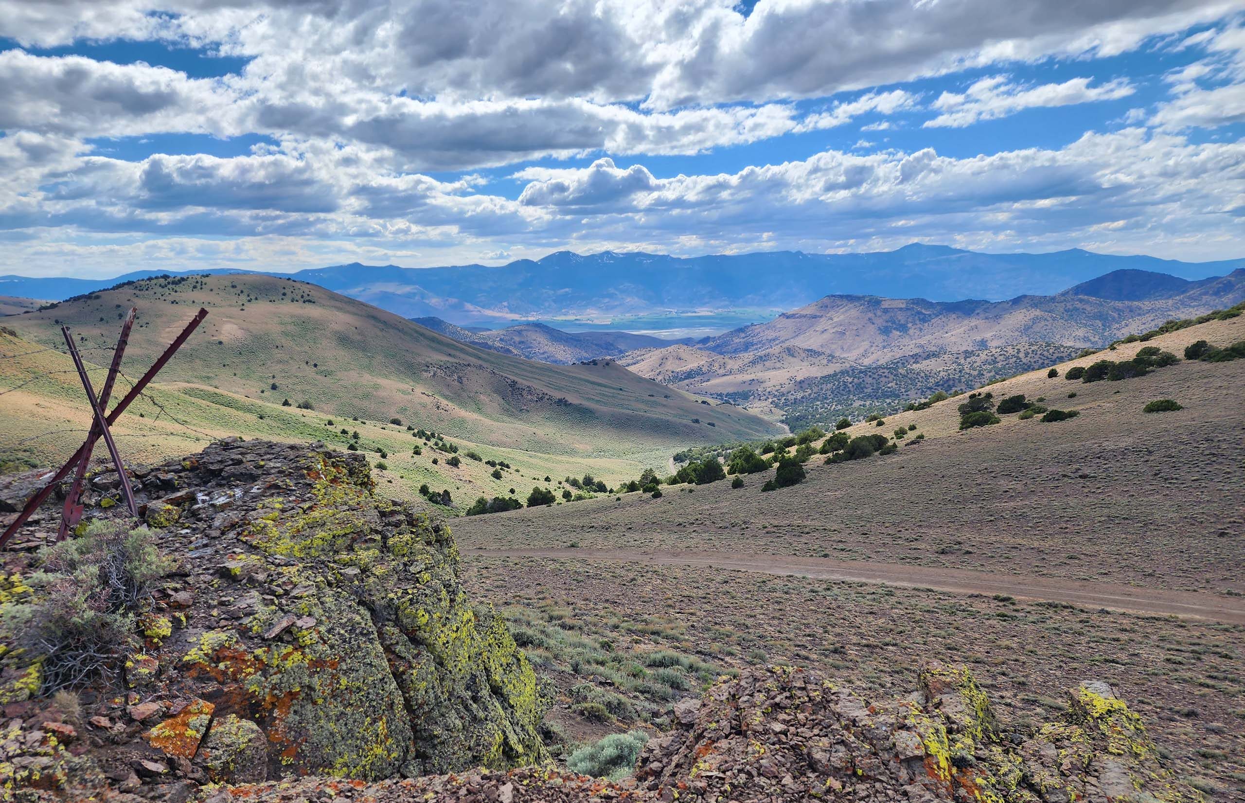
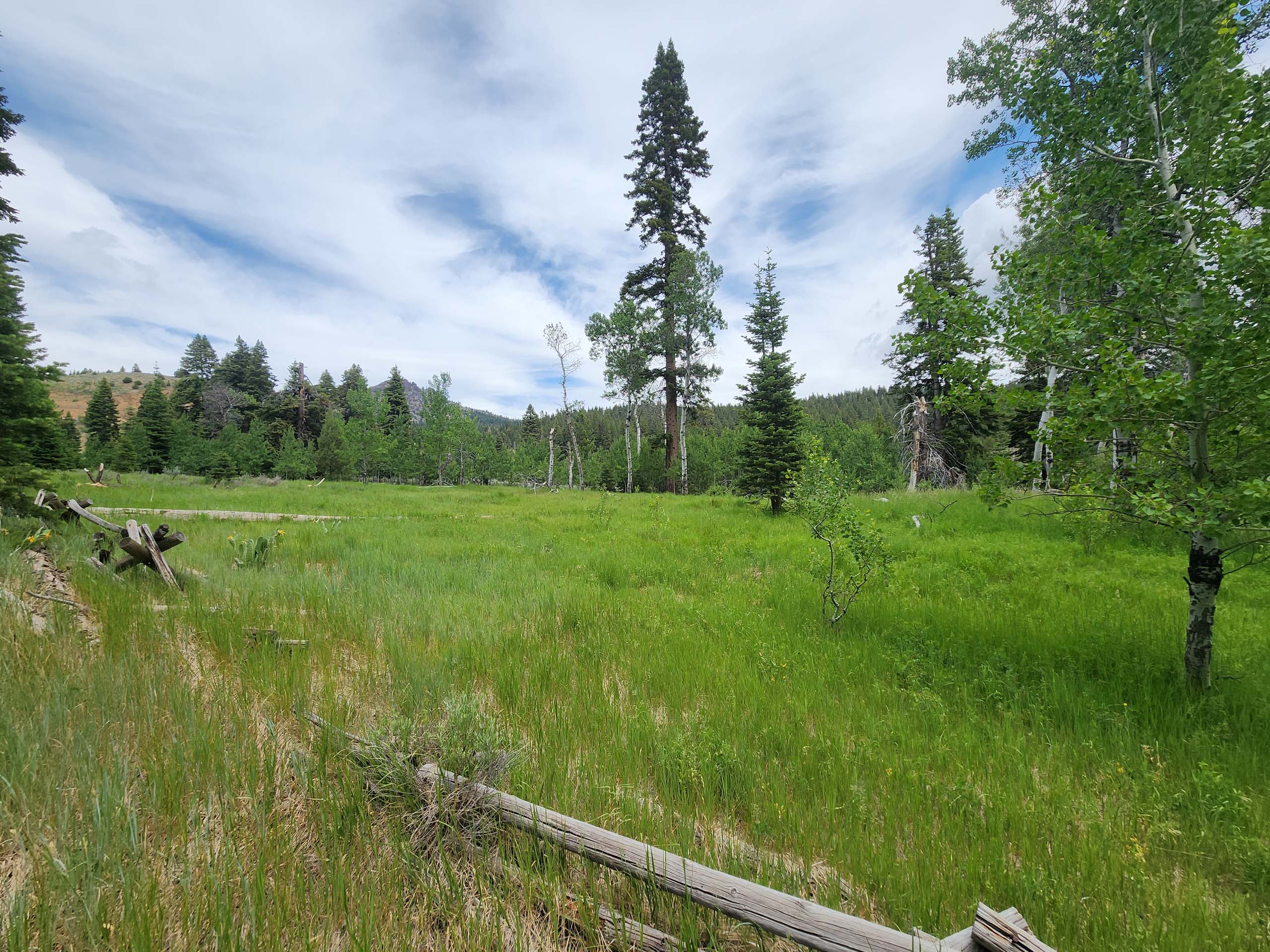
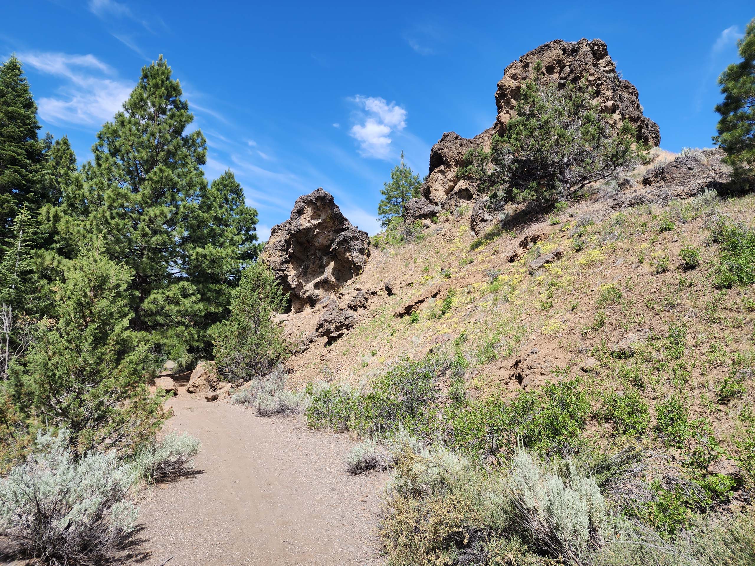
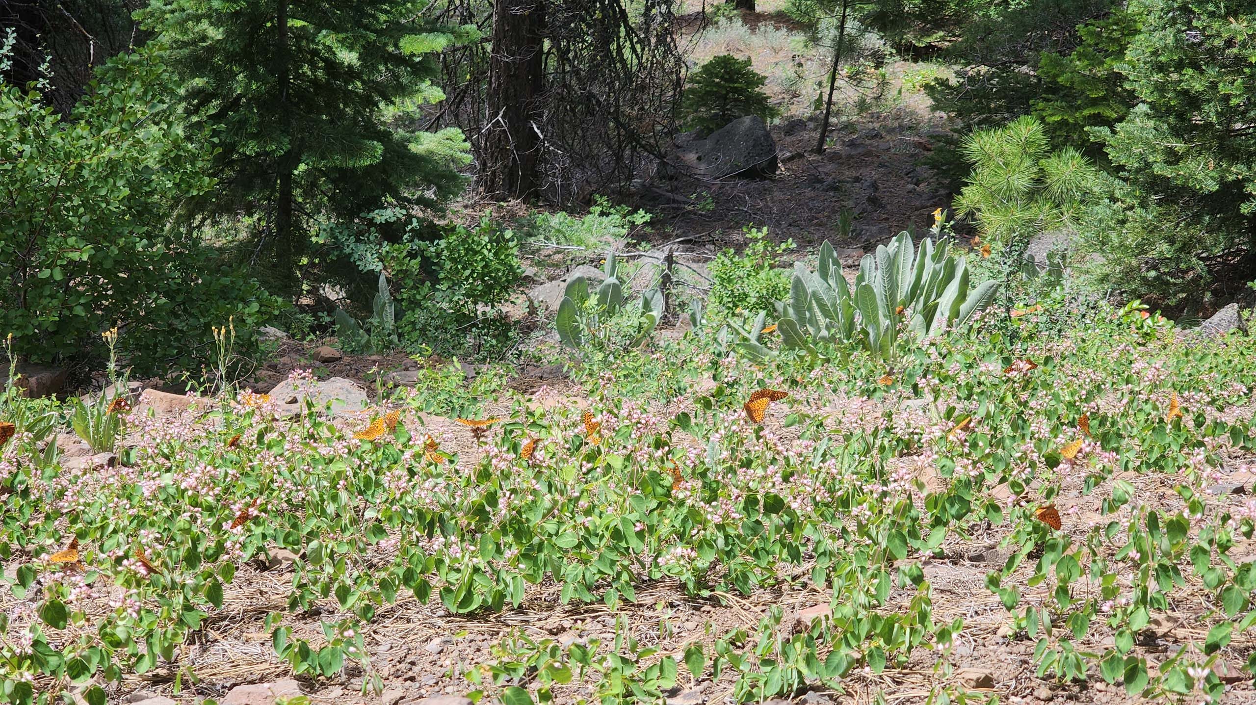
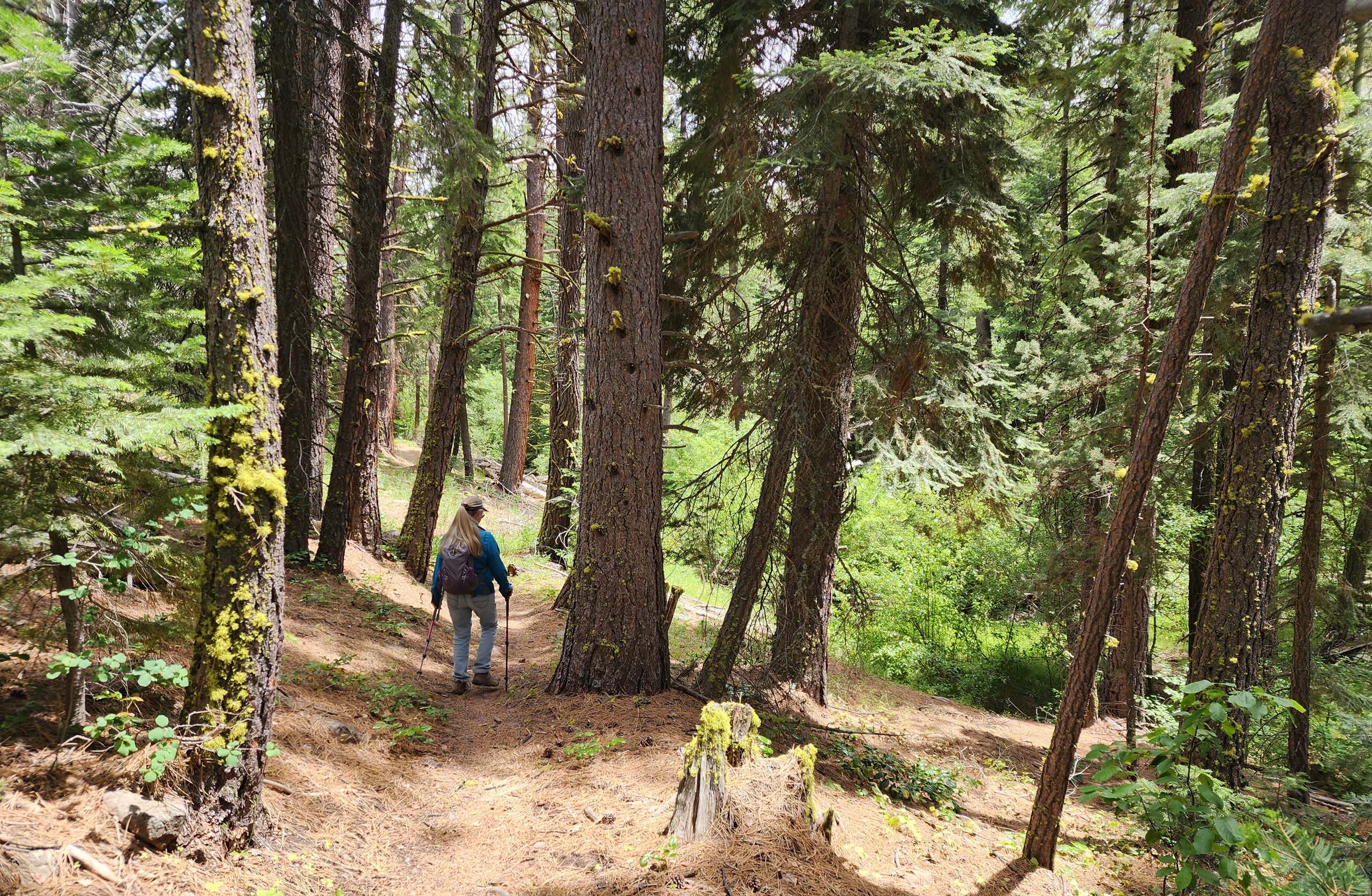
Cedar Creek Trail is a ~3.3-mile trail that generally follows Cedar Creek through a myriad of vegetation types. Open and dry south-facing slopes are home to junipers and sagebrush; other areas are heavily forested with ponderosa pines and white firs (but not a cedar to be found!). Black cottonwoods, willows, and aspens crowd the creek, and meadows, both wet and dry, are filled with wildflowers. We recorded 73 species in bloom, and this was past peak bloom!
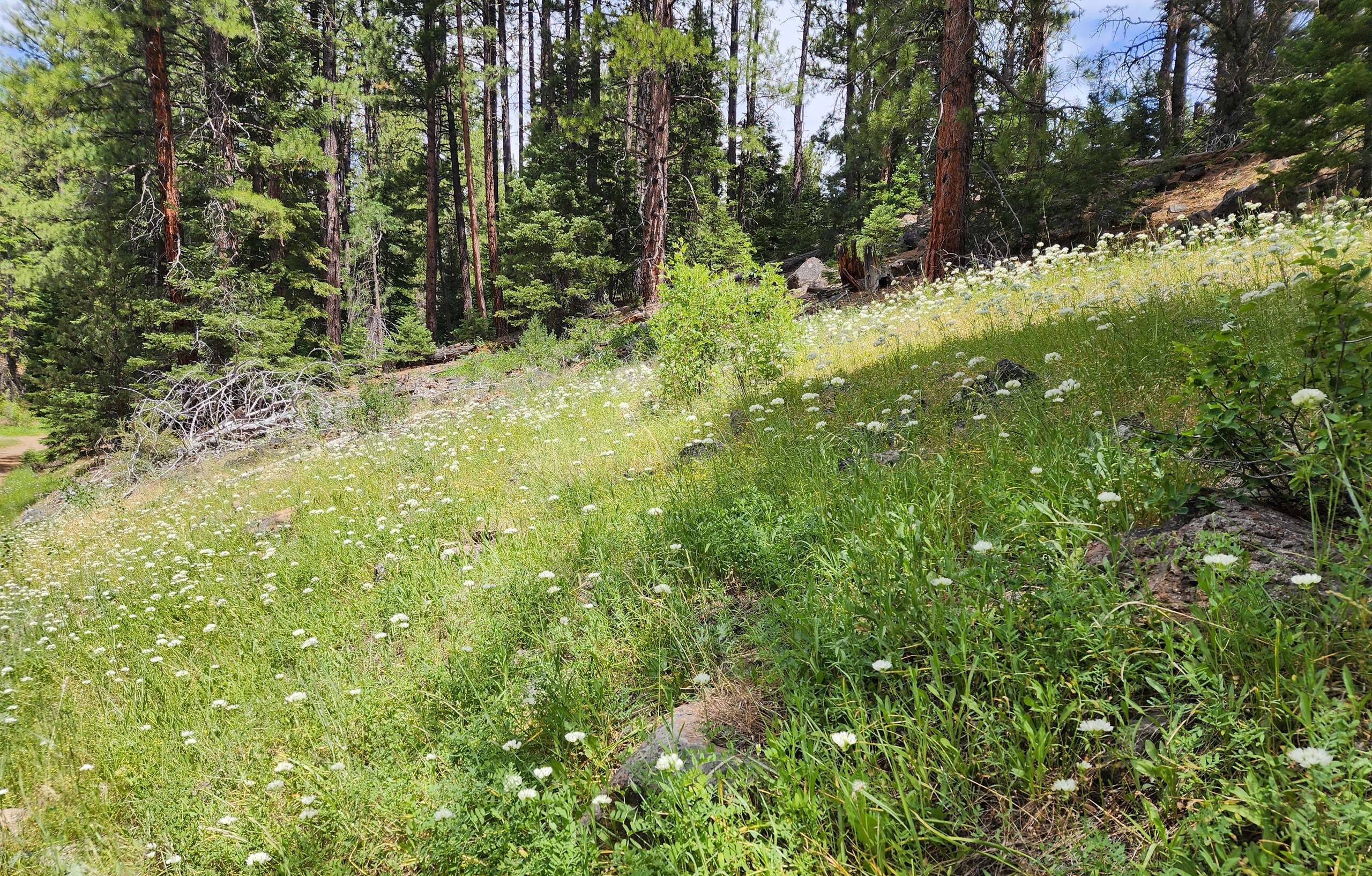
The variety in microhabitats, landscapes, and plant species was quite surprising for such a short trail and certainly kept us in a constant state of wonder! If ever you’re out that way, we highly recommend that you take the time to check it out.
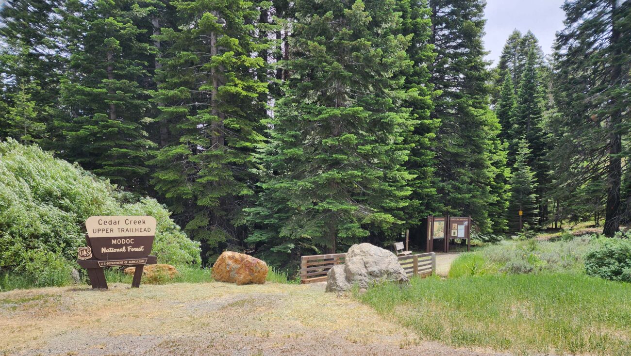
Cedar Creek Trail has two trailheads: Lower and Upper. We started at the Lower Trailhead, ~21 miles east of Alturas on US Highway 299 (south side of the highway, ~3.5 miles west of Cedarville), and hiked up to the Upper Trailhead, which is also home to Cedar Pass Snow Park. The elevation gain is ~800 gradual feet, mostly not very steep, making for a moderately easy round-trip hike of ~6.6 miles.
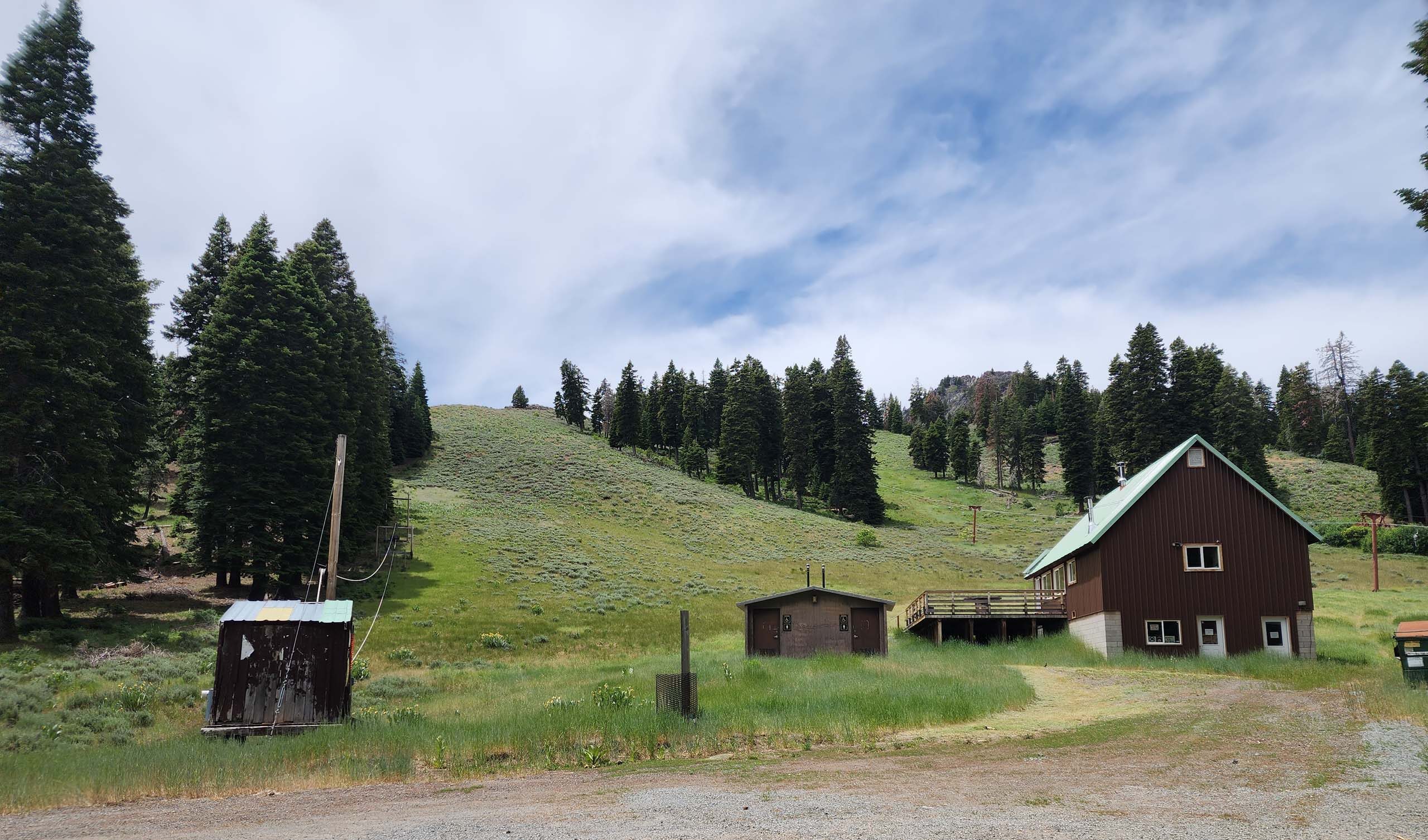
Photo taken June 30, 2024, by Don Burk.
The lower section of the trail is old road bed, and the upper part is well-maintained footpath. The middle section of ~1 mile is split into a loop, giving hikers the choice of taking the higher road or the lower footpath. We took both—one one direction, and the other on the return trip—and found both to be in good shape.
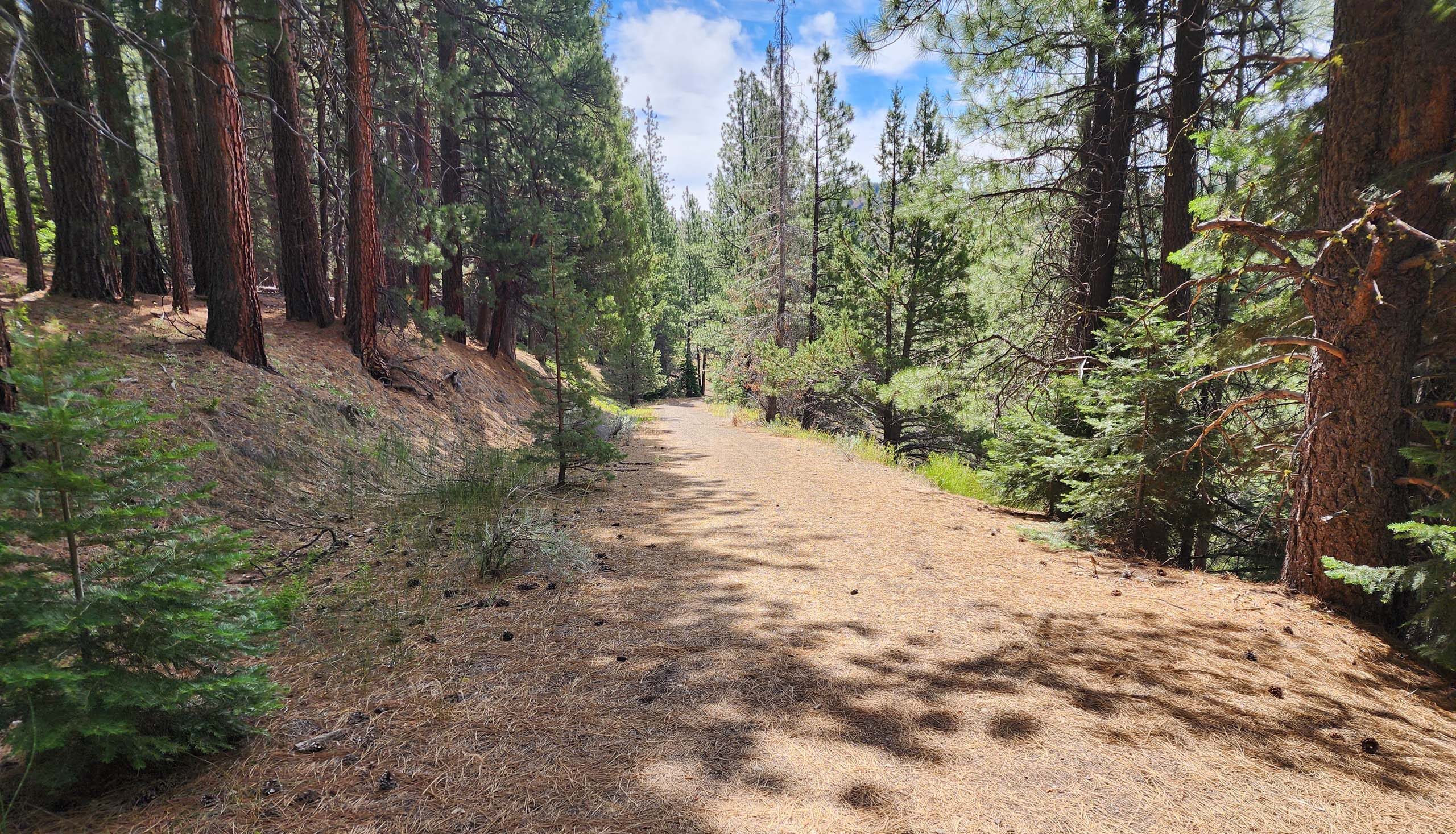
Photo taken June 30, 2024, by Don Burk.
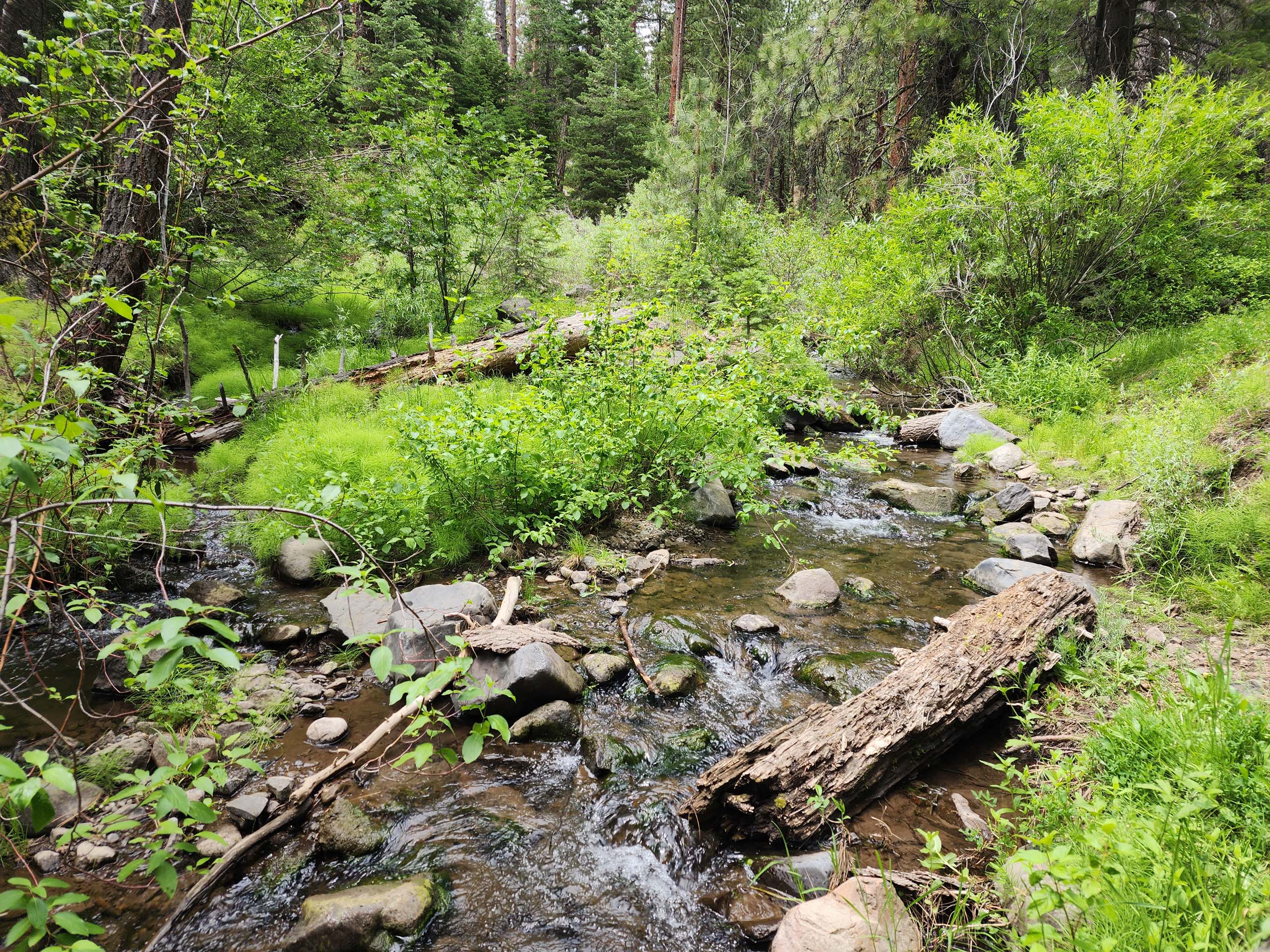
If there was anything disappointing about this trail, it would be that the creek in only accessible in one small spot, off the lower footpath of the middle-mile section. Even that lower trail mostly stays at least 30 feet above the deeply incised and heavily vegetated creek. Most of the time, we couldn’t see the water, but we could almost always hear it rushing, providing a nice background ambiance.
Here is a slideshow of some of our favorite sights. All photos by Don Burk. Enjoy! ~Laurie & Don Burk


