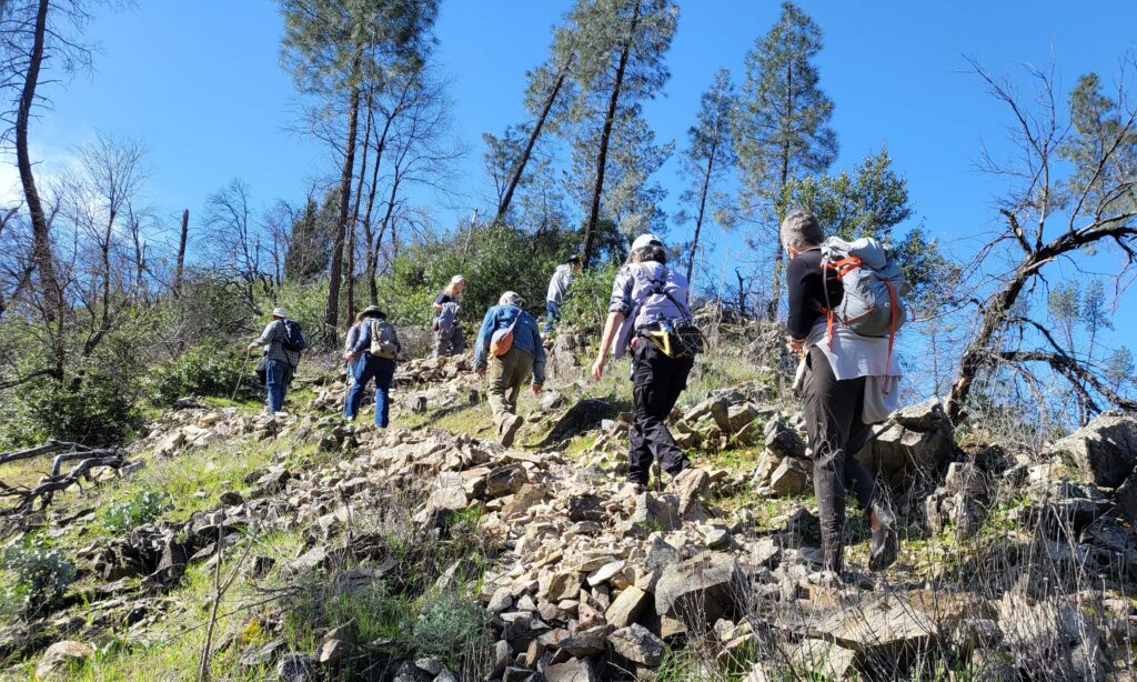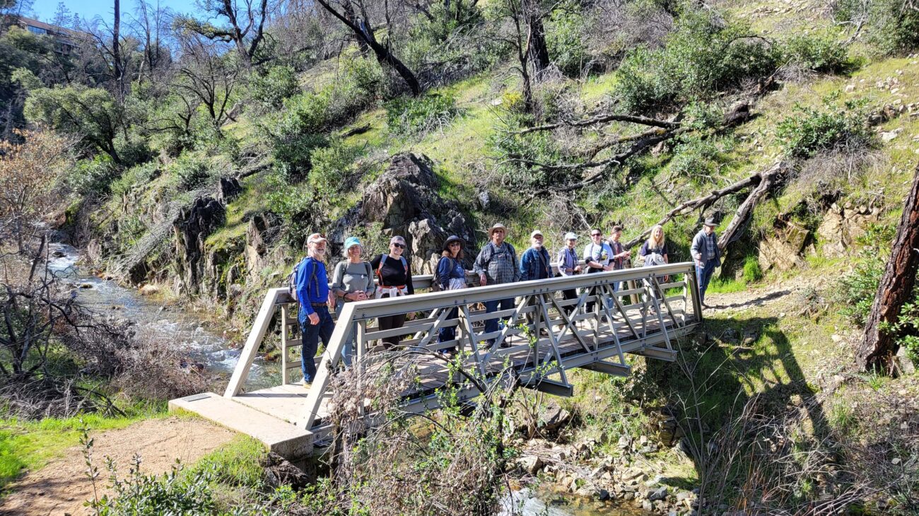
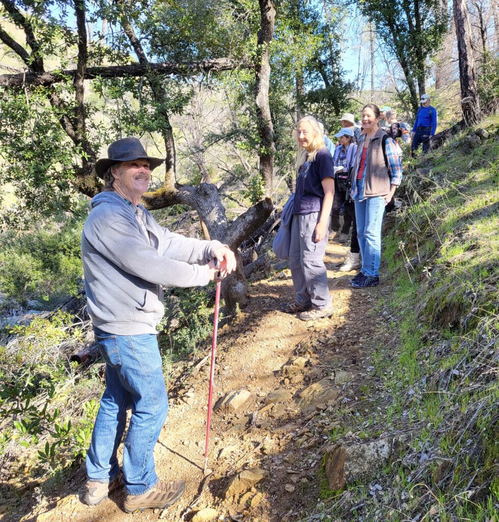
It was perfect weather for the joint Shasta Chapter CNPS-Shasta Environmental Alliance field trip on BLM’s Trail 58, just west of Redding, on Saturday, February 24—cool with sunny skies, providing crystal-clear views of Mt. Shasta and the surrounding area. This trail used to traverse an oak woodland with scattered shrubs but, since the Carr Fire, the area now supports chaparral habitat with scattered gray pines and a few canyon live oaks that survived the fire.
This trail roughly follows the south side of Middle Creek, which was an area of active gold mining during the Gold Rush. A long section of the trail follows an old water ditch that was used by gold miners. If you look carefully, you can still see the remains of a huge old pipe and flume that have fallen in a small canyon.
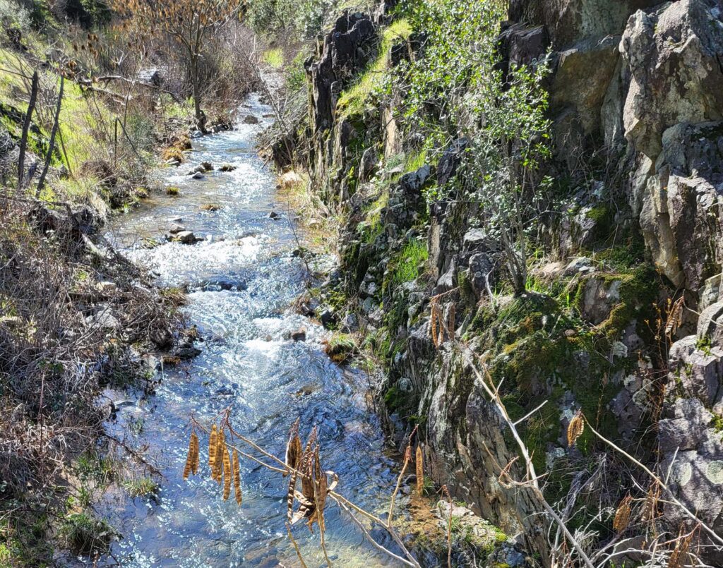
Botanically, little was blooming except for many Henderson’s shooting-stars. We did see many examples of oracle oak as well as resprouting black oak, interior live oak, and canyon live oak. Many of the knobcone pines have reached six feet tall; fewer numbers of gray pines were in the two- to four-foot range. Other plants we saw included coyote brush, willow dock, broad-leaved sedum, Lemmon’s ceanothus, redberry, and many toyon, of which the American Robins had eaten almost all of the fruits. Many soap plants are leafing out, and mountain jewel flowers could still be identified by last year’s seed pods (siliques) and leaves. And there are way too many invasive Spanish broom shrubs along the creek!
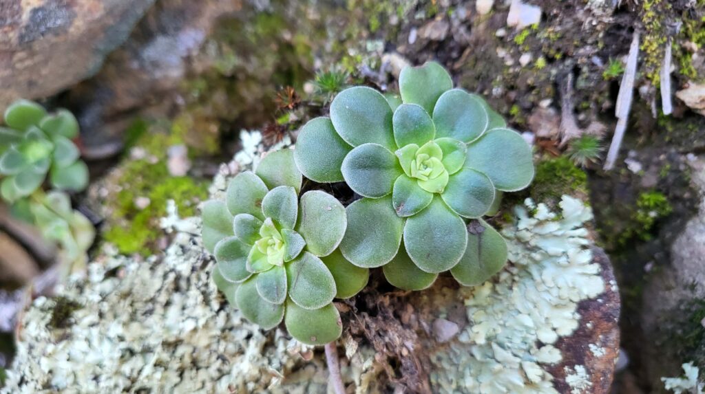
Photo © Doug Mandel, February 24, 2024.
There is only one steep uphill section on the trail, which eventually meets Middle Creek Trail at the south end of Old Shasta. Overall, it was an easy to moderate hike in perfect weather. ~David Ledger
